TEREVUE CORE
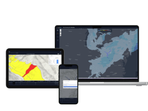
Vegetation Management Data Suite
Powered by the Teren Engine.

Fast. Really Fast.
Consistent, high-quality spatial analytics in days, not weeks.
Accurate
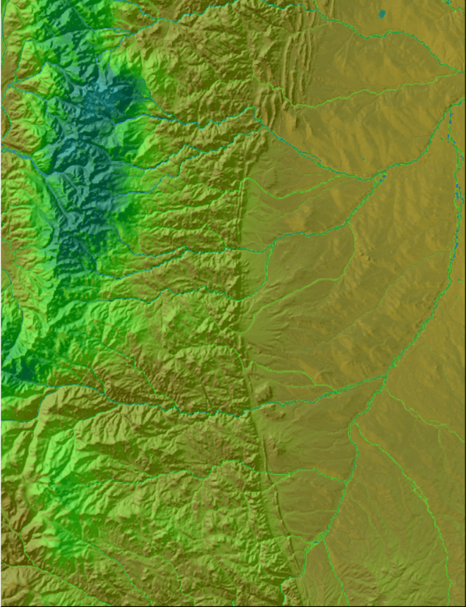
Teren uses high-fidelity LiDAR for accurate analysis.
Expert-approved
Access data curated by data scientists, without the costs of hiring one.
Reg Compliant
Veg intelligence that quantifies reclamation to meet permitting requirements, ESG reporting, and more.
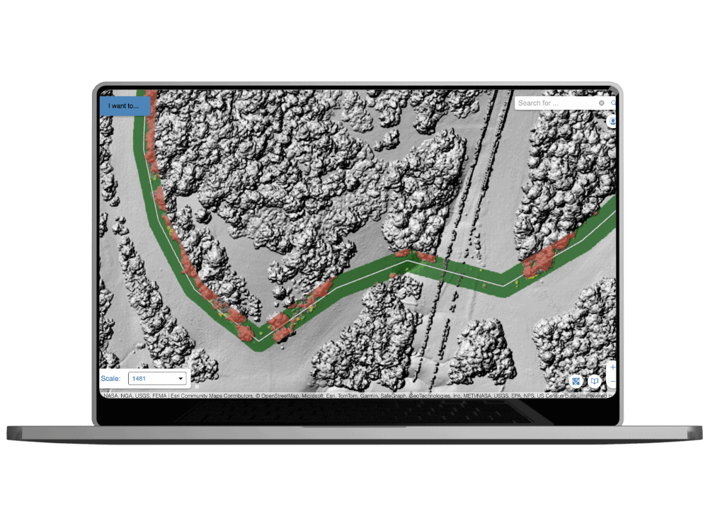
Evaluate Vegetation Impact on Assets
Identify vegetation encroachment threats along a right-of-way, clearing quantities, and perimeter shading that could impact asset integrity, regulatory compliance, or operational performance.
Prescribe Proactive Forest Treatments
Use wildfire fuels and risk assessments to inform optimal mitigation treatments for rangelands, forestlands, and pasturelands.
- Leverage remotely-sensed data, Teren’s nationwide wildfire model, and extensive earth sciences expertise.
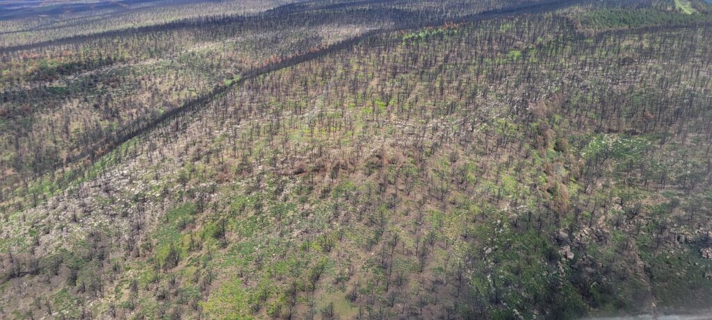
Reclaim and Rebuild Burn Areas
Reveal where action is needed most to protect human lives and infrastructure, prevent further disasters, and regenerate ecosystem function.
- Soil Burn Severity Modeling
- Sedimentation and Debris Flow Hazards Modeling
- Hydrologic Resource Impact Modeling
- Values-at-Risk Analysis and Prioritization
- Burn Area Stabilization Prioritization
- Revegetation for Carbon Prioritization
- Reclamation Success Reporting
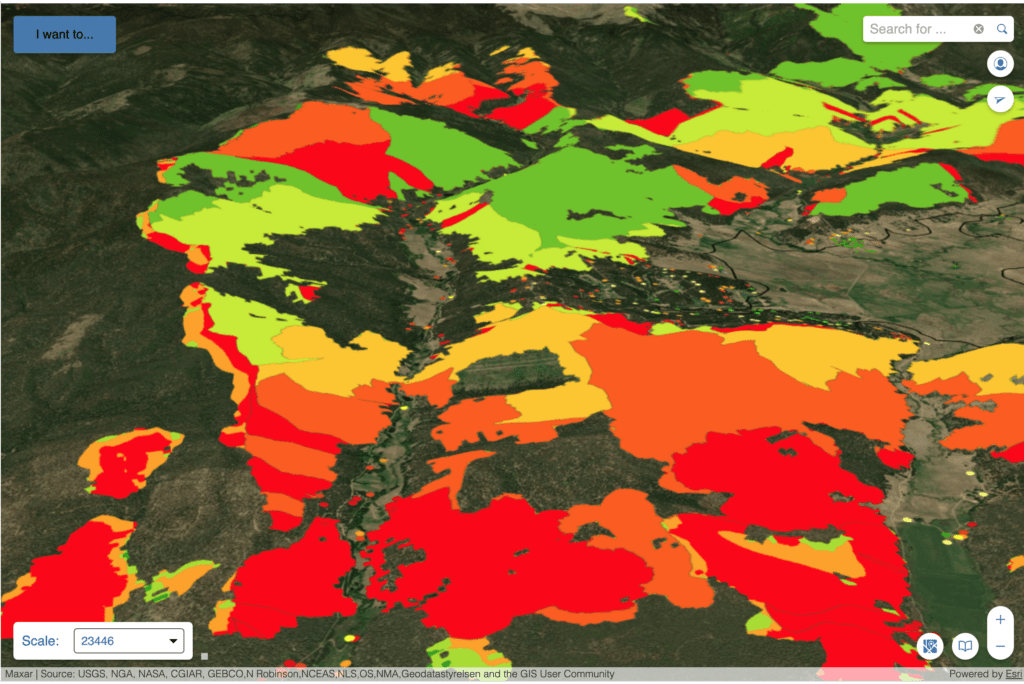
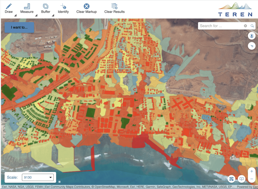
Pinpoint Risk at Property-Level
- Pinpoint wildfire risk exposure and vulnerabilities so you can prioritize vegetation trimming and removal.
- Reduce wildfire severity, impact, and endangerment.

Asset 3D Visualization
Teren builds a digital twin of your assets and provides dynamic insights on evolving environmental conditions.
Risk Prioritization
Using machine learning, Teren identifies and quantifies distinct wildfire risks and vegetation encroachment across your entire site.

Remote Measurement of Vegetation Conditions
Inventory changing environmental conditions from the office.
Want to see Teren’s data product suite in action? Read these stories.
In the post-fire world, spatial analysis is your best friend.
With 341,735 acres to assess, the NRCS came to Teren for a fast, maps-driven quantified recovery prioritization, and got it in 11 days.
Read More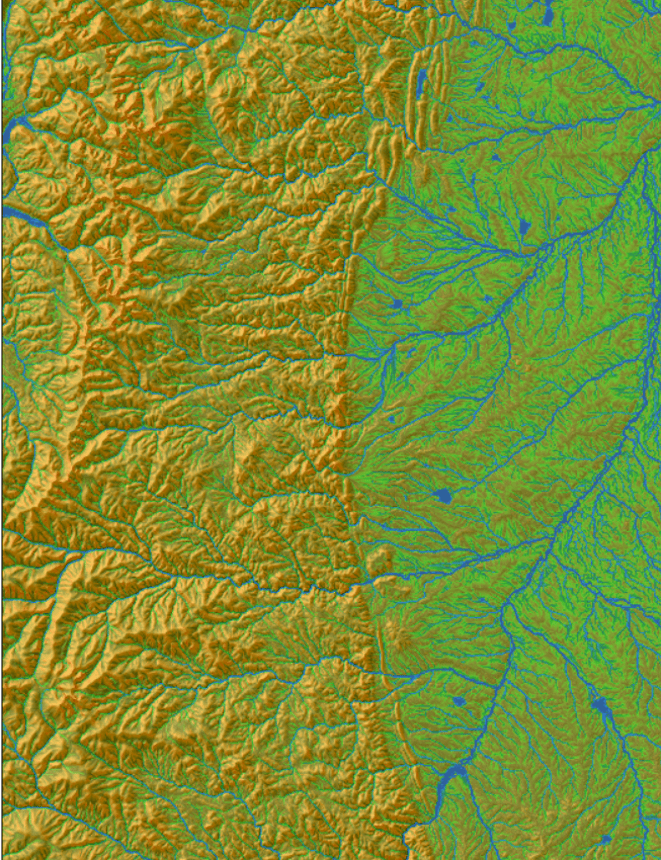
We didn’t like the data out there on real-time surface moisture.
Tired of the shortcomings of the traditional topographic wetness index, Teren decided to engineer a new authoritative model.
Read More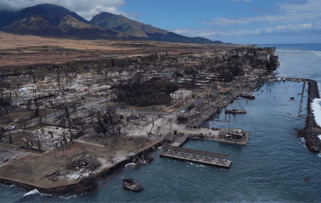
Lahaina was looking to rebuild and protect its coral reef post-wildfire.
Teren’s integrated approach harnessing photogrammetry data, spatial analysis, and ecosystem science equiped Maui County with the data to do just that.
Read More