Mappy Halloween from Teren! This October, we’re celebrating the spooky side of geospatial data. From the mapping of haunted sites around the world, to geospatial investigations of the paranormal. Check out our favorite picks below and get mapping!
The Spookiest Places in the U.S. (and the Least Spooky)

To look at how spooky U.S. metro areas are, Susan Currie Sivek, Ph.D. created a Spooky Score for each area, based on the density of cemeteries and haunted places in each metro area, as well as the per capita UFO sightings and Bigfoot encounters. The map shows 352 metro areas and those data points for each. Check it out to see what spooky score your city has!
Paranormal Map of Haunted Locations in Colorado

Being Colorado-based, mapping the paranormal in our state was a must. This crowdsourced map, hosted by GeoSpirits, plots out restaurants, hotels, cemeteries and more that have had reported encounters with the paranormal.
It was frankly a fun history lesson in some of Colorado’s darkest corners – including a surprising propensity for canibalism.
Ghost Towns Map
Crowdsourced by Forgotten Lands, Places and Transit, this map looks at ghost towns, historic sites, archaeological sites, and other abandoned places around the world. Clicking on each site you get information about the history of each town when available. Each location has its own unique story—perfect for those who love a good ghost story!

Quantitative analyses of the geospatial characteristics of haunted sites using open data
Published research on geospatial characteristics of haunted sites? Clearly this was going to make our list. A team of Japanese researchers led a study published in Social Sciences and Humanities Open that attempts to bridge geography and ghost research by using the geolocation of haunted sites online as well as open data. The spatial relationship of the geolocation of haunted sites with government open data is examined. The study yields surprisingly interesting results in geospatial trends when it comes to the location of haunted sites. As the researchers conclude, “Our findings provide empirical support regarding the sociology of death.”
Where are the bodies buried? Map

ESRI published this “Where Are the Bodies?” story map in 2014 which documents the final resting places of some of the most famous (and infamous) actors, artists, authors, and criminals. Check it out!
Environmental Hazards Map: Climate Dangers that Haunt Infrastucture

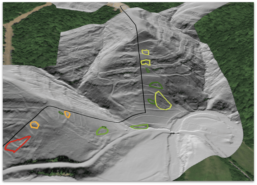
While it might not be geolocating draculas or ghost towns, Teren’s mapping of hidden environmental threats, from flood zones to wildfire-prone areas, helps uncover the lurking climate dangers that can haunt entire communities. Knowing these risks helps you prepare and protect your assets!
Ready to explore the mysteries hidden in your data? Connect with Teren to uncover the spectral insights waiting to be revealed!


How can Teren help you?
We'd love to hear from you.
- Ready to dive deeper? -
Knowledge Hub
White Papers
Webinars