TEREVUE CORE
The 101 on all things geospatial analytics, remotely-sensed data, climate technology and digital twins: welcome to Teren’s knowledge hub.
- All
- Artificial Intelligence
- Asset Resilience
- Big Data
- Change Detection
- Climate Change
- Debris Flow
- Depth of Cover
- Endangered Species
- Environmental Twin
- Geohazards
- Geospatial Analytics
- InsureTech
- Land Reclamation
- LiDAR
- Pipeline
- Regulations
- Renewables
- Right of Way
- Soil
- Structure Identification
- Surface Hydrology
- Terrain
- Vegetation Management
- Weather
- Wildfire
6 Key Analytics for Insuring Properties in Hazard-Prone Markets
Insuring properties in hazard-prone markets, such as homes located near wildfire risk areas, require...
Slope Stability Explained, and It’s Relationship with Landslides
Have you ever wondered what makes a grassy hillside stay put instead of sliding down into a big Dali...
These are the top 7 analytics you should be tracking to protect your utilities against the environment
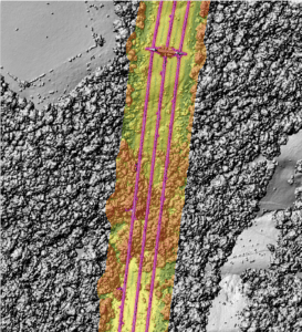
Evolving Environmental Threats Require Advanced Analytics As environmental factors increasingly impa...
Fundamentals of Geospatial Data Science (for the Non-scientist)
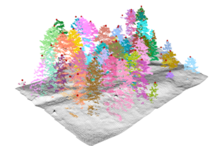
The article lays out the basics of geospatial data for the non-scientist....
Elevating the Traditional Topographic Wetness Index with Teren’s Climate-Enhanced TWI
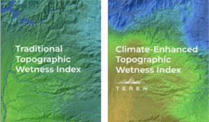
What is TWI? The Topographic Wetness Index (TWI) has long been a staple in modeling terrain moisture...
From Fire to Future: Using Spatial Analysis Tools for Wildfire Recovery in New Mexico

Wildfires: Balancing Prevention with Post-Fire Response With the ever-expanding 2024 wildfire season...
Teren Applauds Introduction of Modernizing Wildfire Safety and Prevention Act
Teren commends the introduction of the Modernizing Wildfire Safety and Prevention Act of 2024, a wel...
AI and Data Science: 3 Emerging Trends to Solve Environmental Challenges
Discover how AI is revolutionizing data science. Learn how data analysis and insights from AI can he...
7 geologic hazards and their water-related triggers
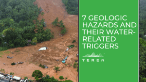
Water is a powerful force that shapes our environment and influences a variety of geologic hazards. ...
Mitigating Geohazards in Natural Gas Operations: A Case Study
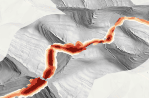
Teren's proactive approach set a new precedent for enhanced safety, speed and cost-effectiveness to ...
What is an Environmental Twin?
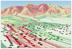
Teren's environmental twin platform is designed to deliver accurate digital replicas of changing env...
Unleashing Nature’s Fury: Hurricane Hilary’s Deluge Threatens California’s Fragile Balance
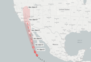
Hurricane Hilary reminds us of the urgent need of maintaining resilient infrastructure, monitoring e...
No More Posts

