TEREVUE CORE
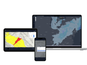

KNOWLEDGE
HUB


The 101 on all things geospatial analytics, remotely-sensed data, climate technology and digital twins: welcome to Teren’s knowledge hub.
- All
- Artificial Intelligence
- Asset Resilience
- Big Data
- Change Detection
- Climate Change
- Debris Flow
- Depth of Cover
- Endangered Species
- Environmental Twin
- Geohazards
- Geospatial Analytics
- InsureTech
- Land Reclamation
- LiDAR
- Pipeline
- Regulations
- Renewables
- Right of Way
- Soil
- Structure Identification
- Surface Hydrology
- Terrain
- Vegetation Management
- Weather
- Wildfire
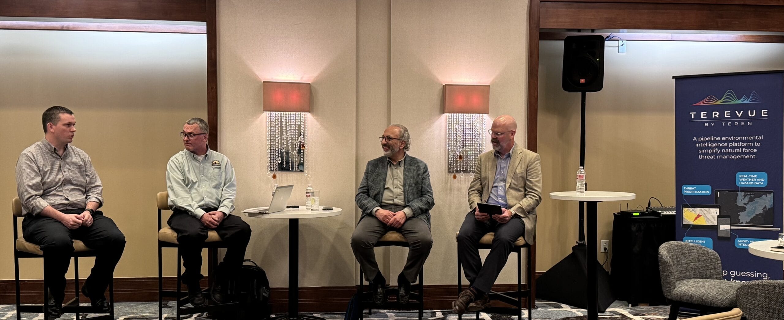
Navigating Weather and External Force Threats in Pipeline Integrity: Key Insights from Industry Leaders

On March 3, 2025, Teren hosted an expert panel in Houston, bringing together leading pipeline operat...
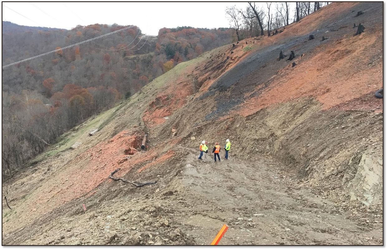
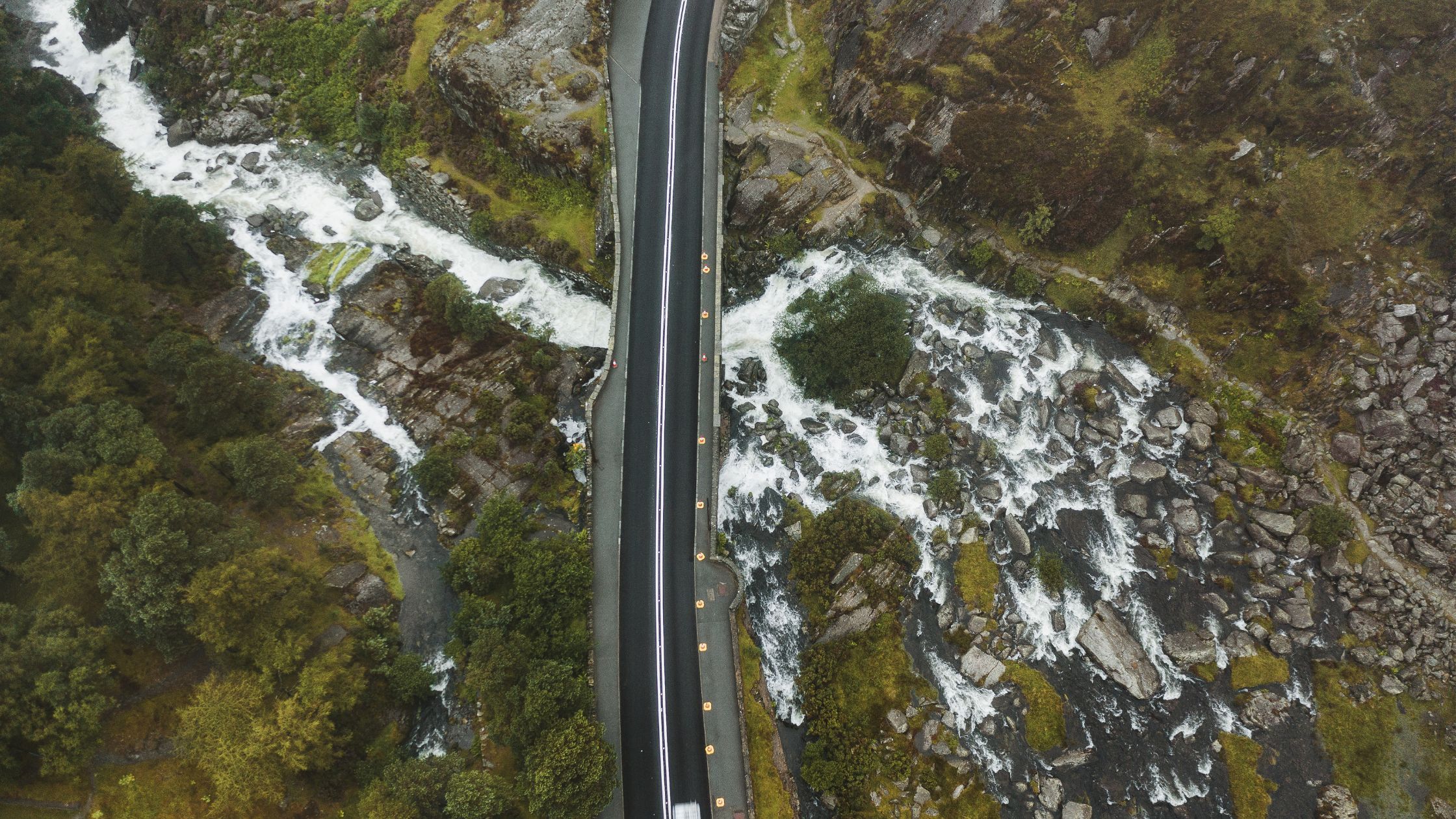
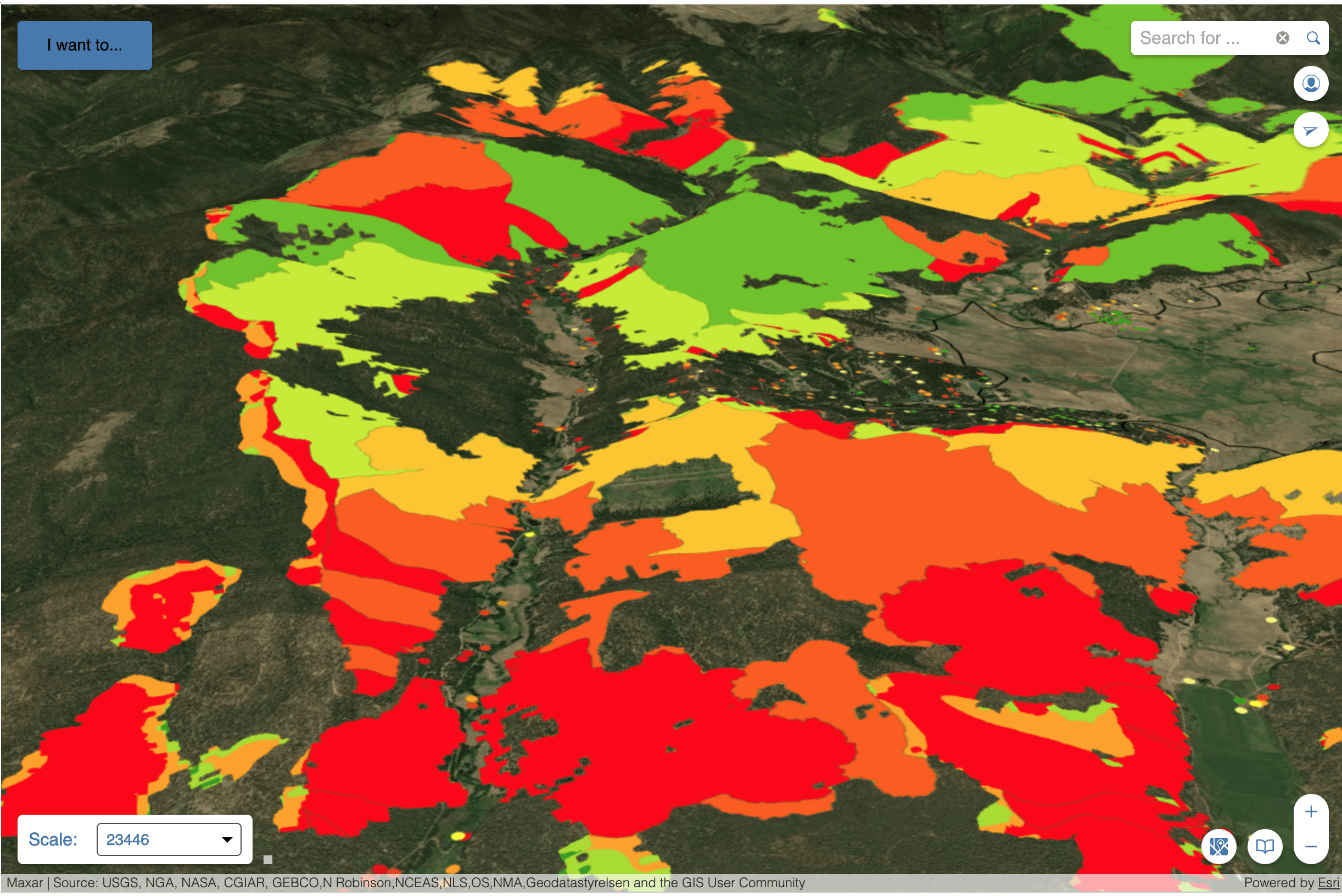
API RP 1187 Recommended Practice for Managing Landslide Hazards for Pipeline Integrity Explained, and How to Implement

Introduction to API Recommended Practices Landslides are complex geological phenomena that can have ...
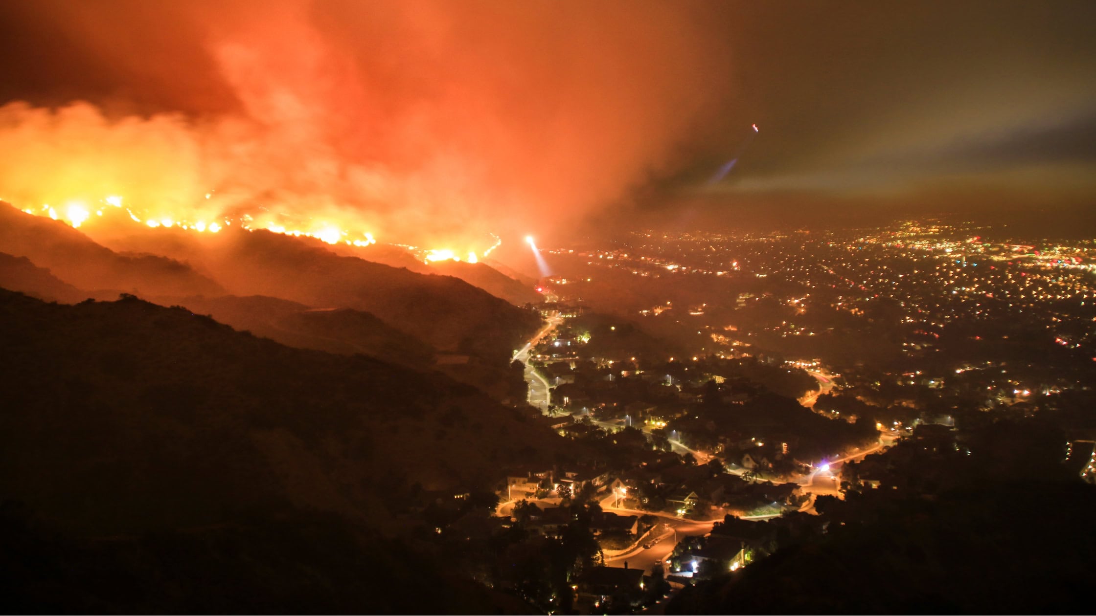
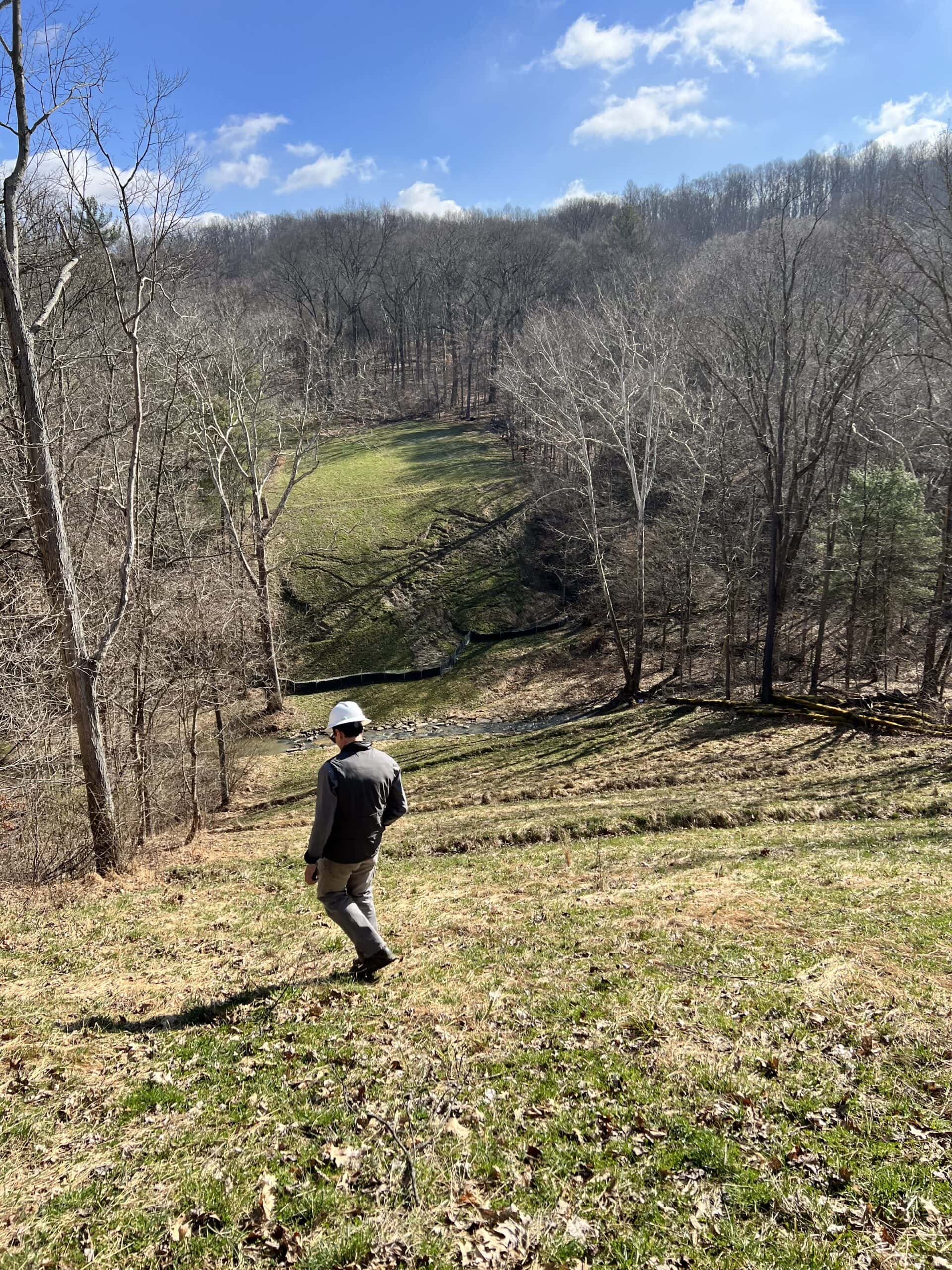
Understanding Post-Wildfire Hazards & Insurance Implications: A Conversation with Leading Geomorphologist John Norman

As wildfires like the recent ones in Los Angeles become increasingly prevalent across our landscapes...
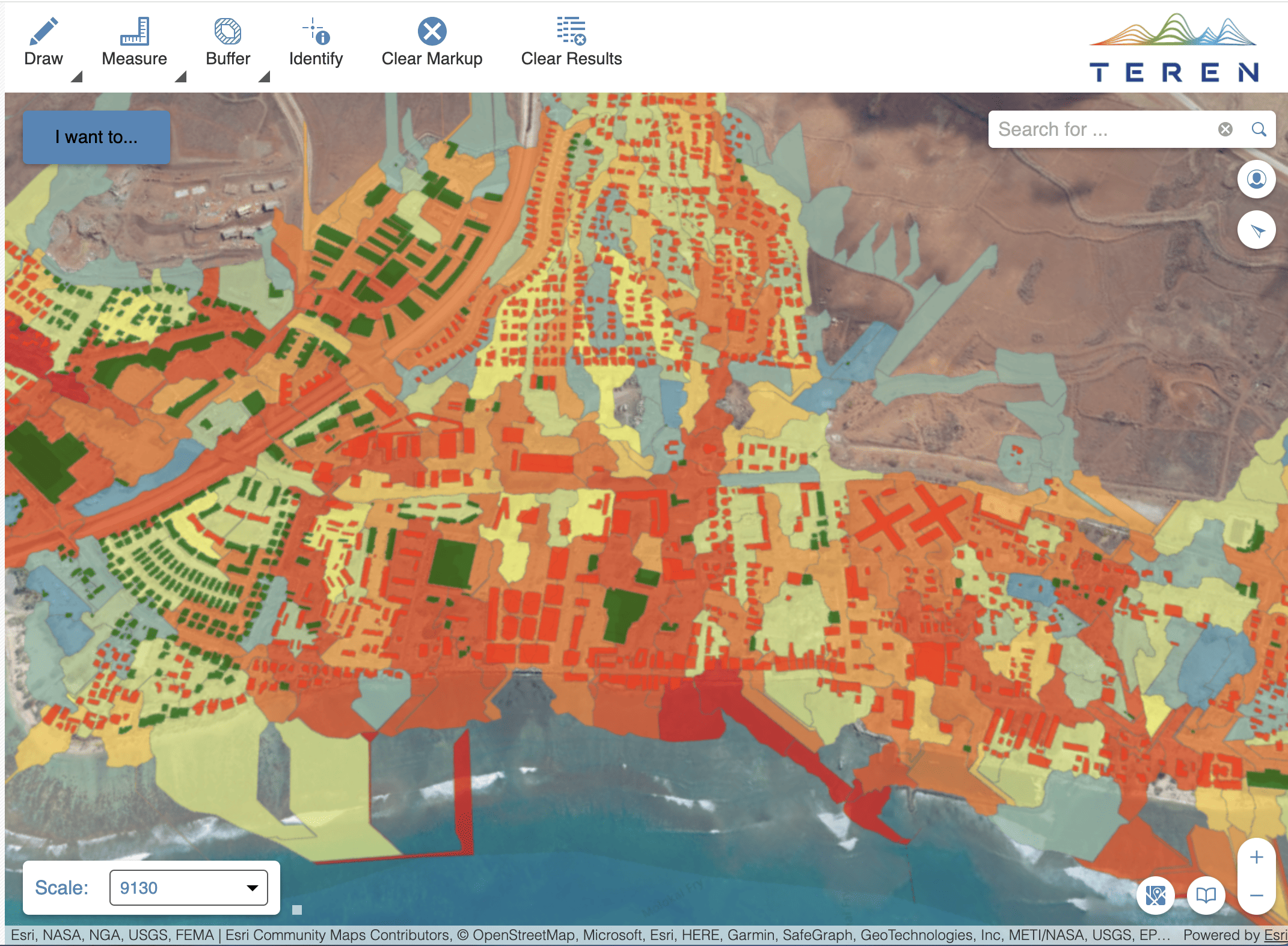
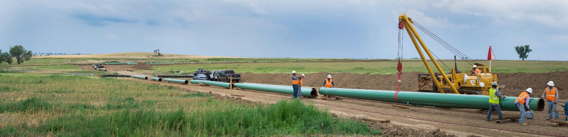
Pipeline Integrity Management: Protecting Critical Infrastructure from Natural Force Threats

Introduction Pipeline infrastructure serves as the backbone of global energy networks, delivering th...
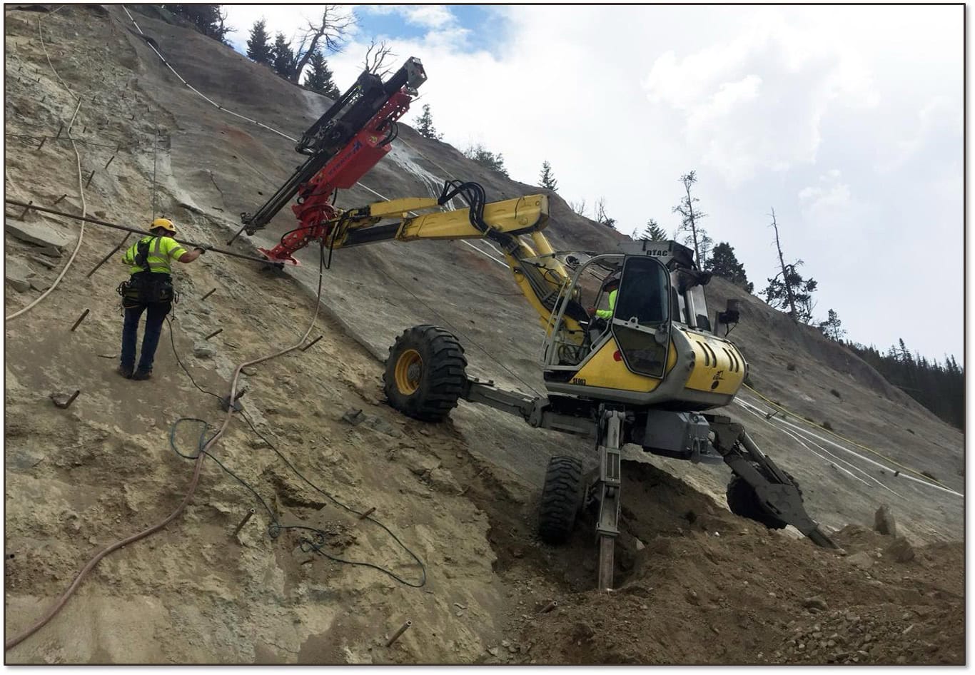
Debris Flows: Understanding Nature’s Destructive Geological Phenomenon

Introduction Nature has few forces as swift and destructive as debris flows. These geological phenom...
8 Ways Geospatial Data Transformed Business Applications in 2024

Geospatial data has transformed the way humans and businesses interact and engage. By leveraging the...
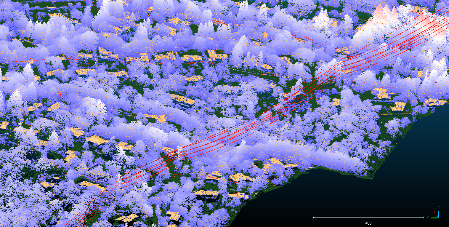
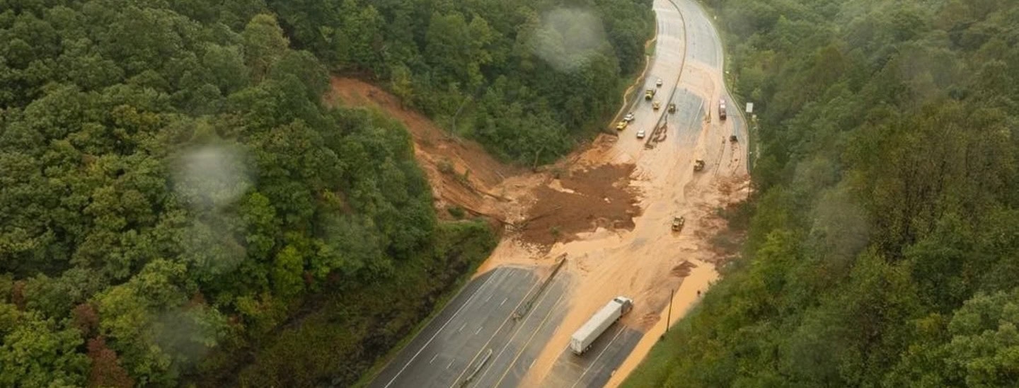
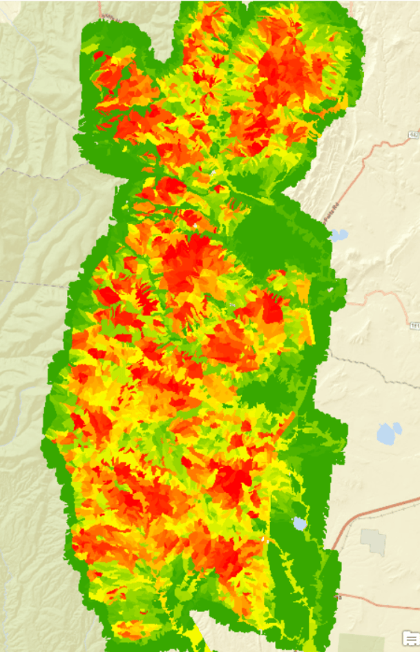
Predicting Landslides: Teren’s Hydrology Modeling Validated by Hurricane Helene

In the wake of Hurricane Helene, Teren worked with USGS data to validate its innovative approach to ...
Building Transportation Resilience: 5 Key Analytics to Manage Increasing Environmental Threats

In today’s rapidly changing climate, transportation infrastructure faces growing challenges from e...
Enhancing site suitability surveying: 5 key spatial data approaches for pre-construction site engineers and surveyors

For site engineers and surveyors, pre-construction surveying is a critical phase that sets the stage...
10 Game-Changing Analytics for Modern Forestry and Land Stewardship

In the ever-evolving field of land and forestry management, the ability to analyze and interpret dat...
Policy Update: Two Major Legislative Wins for Wildfire Technology & Management

The wildfire management policy landscape is evolving rapidly with two recent significant legislative...
From Polar Bears to Landslides: A Geomorphologist’s Quest to Solve Nature’s Greatest Mysteries Through Soil

In his 25+ years as a geomorphologist, soil scientist and quantitative spatial ecologist, John Norma...
No More Posts