TEREVUE CORE
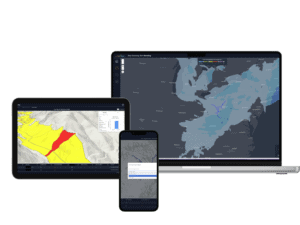
Geohazard Intelligence
Data Suite
Powered by the Teren Engine.
Fast. Really Fast.
Consistent, high-quality spatial analytics in days, not weeks.
Accurate
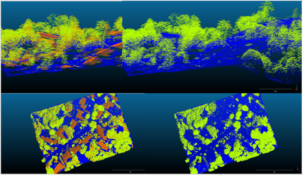
Teren uses high-fidelity LiDAR for accurate analysis.
Expert-approved
Access data curated by data scientists, without the costs of hiring one.
Scalable
Hydrology, terrain & vegetation intelligence at scale.
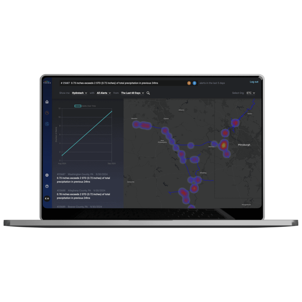
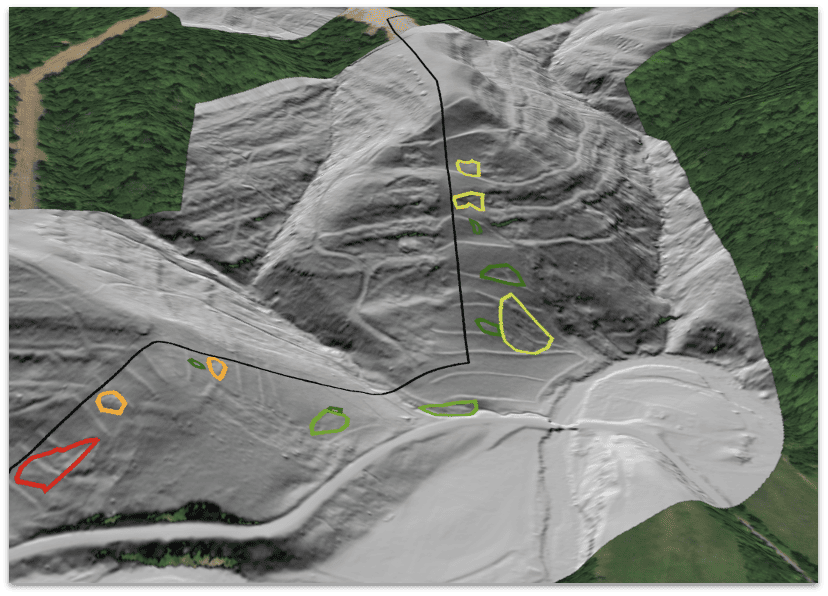
Identify, prioritize & monitor landslides
In steep and hilly terrain, geohazards and landslides manifest as the result of changes in vegetation, hydrology, and land movement.
Teren proactively identifies, ranks, and monitors landslide geohazards to create effective response and mitigation plans for pipeline operators and DOT’s.
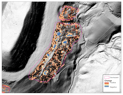
See it for yourselfChange detection modeling identifies hazards not visible to the human eye
Identify and monitor changes to terrain over time that can threaten asset performance and or environmental integrity.
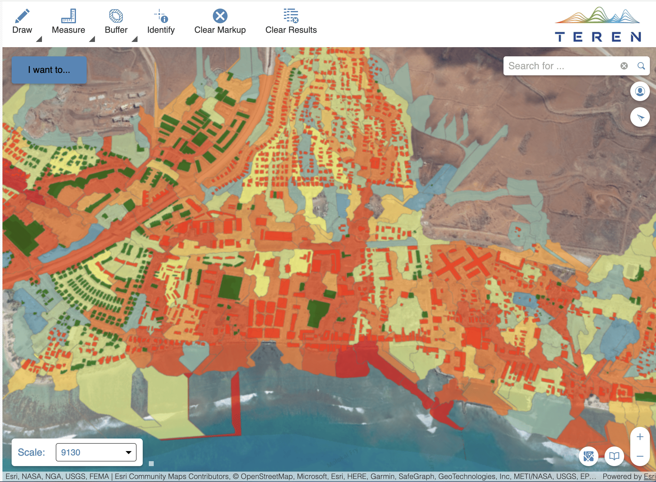
Surface hydrology
- Identify inundation and flooding zones.
- Model hydrology under different climatic and weather scenarios.
- Predict erosion, river scour, and other problematic hydrology.
Asset-Specific
Teren builds a digital twin of your assets and provides dynamic insights on evolving environmental conditions.
Risk Prioritization
Using machine learning, Teren identifies and quantifies distinct geohazard risks across your infrastructure.

Remote Measurement
Inventory changing environmental conditions of your network from the office.
Want to see Teren’s data product suite in action? Read these stories.
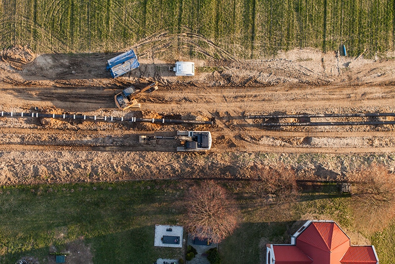
It all started with a strange bend in a pipe.
Tired of averaging 3-5 stressful shut-ins/year, this pipeline operator came to Teren to see the unseen and reduce repair budget by 90%.
Read More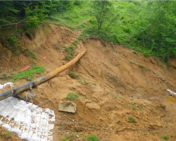
It’s always hard to tell a client “we told you so”.
But when Teren’s data predictions proved spot-on for a landslide resulting in a $1.2 billion asset loss, it was time to do things differently.
Read More
You can have your pipeline and protect monarchs too.
After acquiring land with wily vegetation, one pipeline operator leveraged Teren analytics to protect endangered species and its ROW.
Read More