What is TWI?
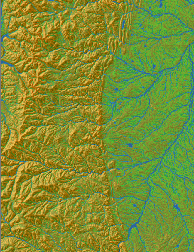
The Topographic Wetness Index (TWI) has long been a staple in modeling terrain moisture and watershed conditions. Widely accepted and frequently used, TWI serves as a crucial tool for ongoing land management decisions and actions. However, despite its utility, traditional TWI has significant limitations.
Limitations of Traditional TWI
While TWI is a valuable tool, its effectiveness is hindered by its inability to incorporate climate variables. This oversight limits the accuracy of moisture modeling, as it fails to consider essential factors like evaporation rates and precipitation patterns. As a result, the traditional TWI provides an incomplete picture of terrain moisture, potentially impacting land management decisions.
Introducing Teren’s Climate-Enhanced TWI (CETWI)
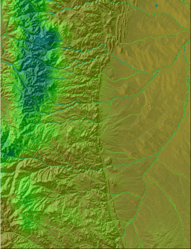
To address the shortcomings of traditional TWI, Teren, with the support of the USDA, has developed the Climate-Enhanced Topographic Wetness Index (CETWI). CETWI integrates climate and vegetation variables, offering a more comprehensive approach to moisture modeling. By incorporating these additional factors, CETWI corrects the moisture estimation gaps found in traditional TWI.
Key Features of CETWI
- Climate Data Integration: CETWI includes critical climate data, such as evaporation and precipitation variations, which are absent in traditional TWI.
- Vegetation Variables: The index also considers vegetation, further enhancing its accuracy.
- Depression Area Modeling: CETWI goes beyond traditional TWI by identifying and modeling depression areas (inundation areas), providing a more detailed analysis.
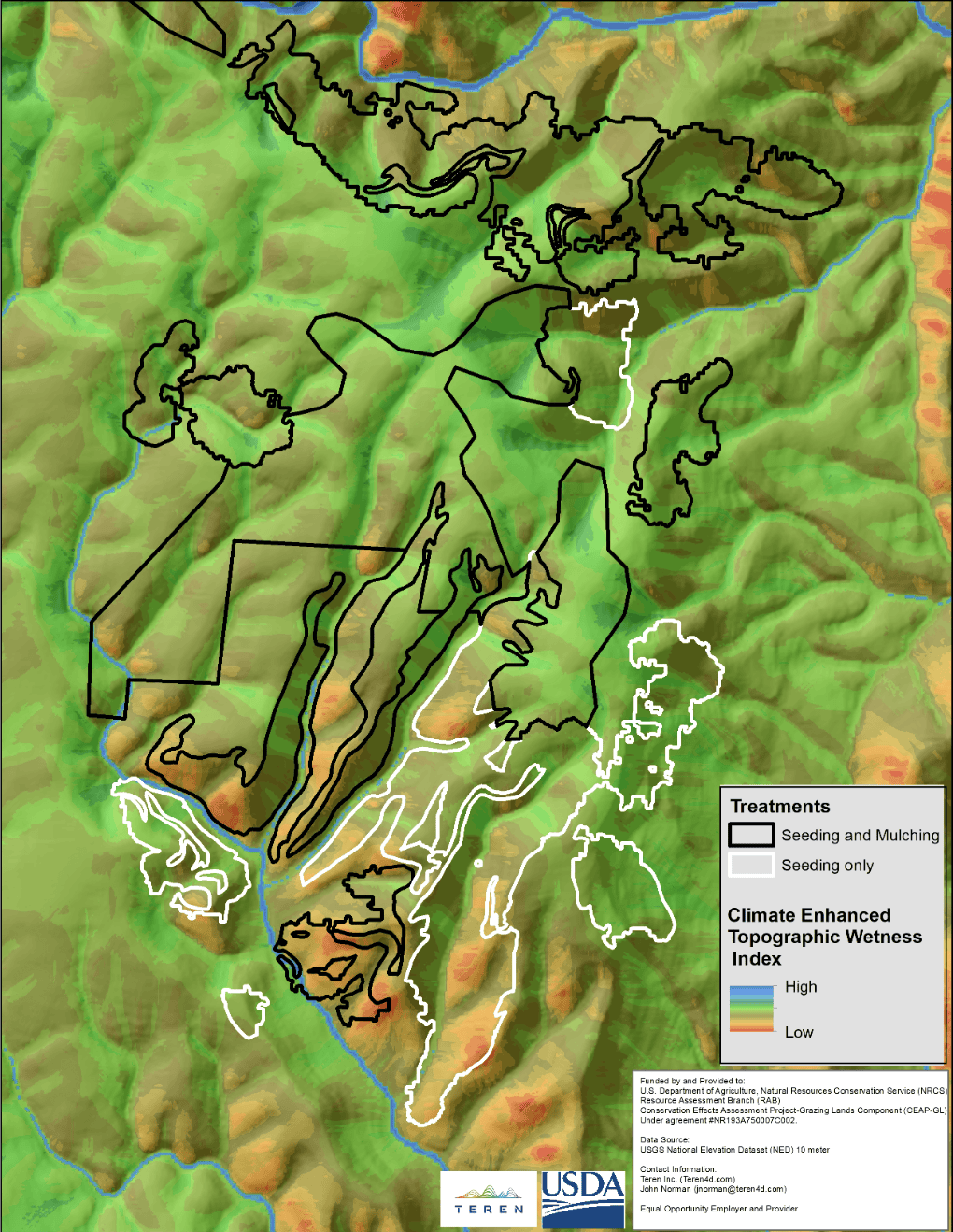
CETWI in Action
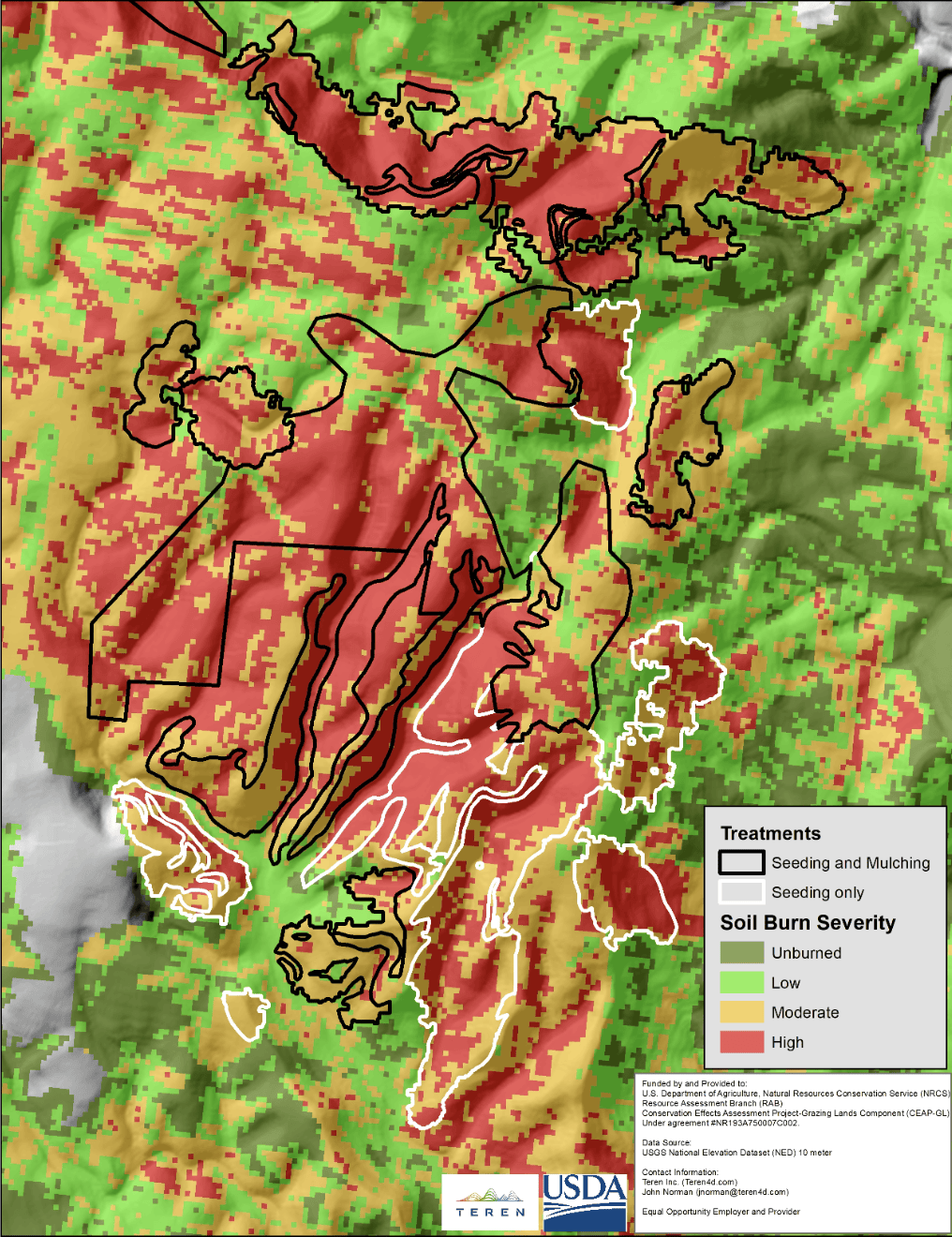
The practical benefits of CETWI are evident in its application to real-world scenarios. For instance, during the recovery efforts following the Hermit’s Peak Fire, CETWI played a vital role in the Natural Resources Conservation Service (NRCS) CEAP-Grazing Lands project. By offering a more accurate moisture model, CETWI facilitated better land management and conservation decisions, showcasing its value in environmental restoration efforts.
How can Teren help you?
We'd love to hear from you.
- Ready to dive deeper? -
Knowledge Hub
White Papers
Webinars