TEREVUE CORE
Category Archives: Remote Sensing

Navigating Weather and External Force Threats in Pipeline Integrity: Key Insights from Industry Leaders
On March 3, 2025, Teren hosted an expert panel in Houston, bringing together leading pipeline [...]
10
Apr
Apr

Announcing Our Strategic Collaboration with Woolpert
When you set out to be the best at providing accurate, timely and actionable environmental [...]
03
Apr
Apr
From Backlog to Back-on-Track: Automating Solar Site Pre-Screening & Processing with Teren’s Hydrology/Veg Intelligence (Customer Story)
The Problem Renewable energy suppliers are in a race to efficiently and accurately identify viable [...]
19
Mar
Mar
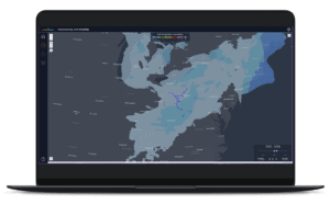
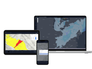
TEREN LAUNCHES TEREVUE TO REVOLUTIONIZE ENVIRONMENTAL RISK MANAGEMENT FOR INFRASTRUCTURE OPERATORS WITH REAL-TIME GEOSPATIAL INTELLIGENCE
New SaaS Product Is the First and Only Technology Offering System-wide Intelligent Alerting of Potential [...]
05
Mar
Mar
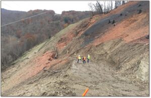
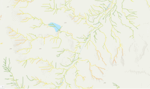
Debris Flows: Understanding Nature’s Destructive Geological Phenomenon
Introduction Nature has few forces as swift and destructive as debris flows. These geological phenomena [...]
11
Dec
Dec

Enhancing site suitability surveying: 5 key spatial data approaches for pre-construction site engineers and surveyors
For site engineers and surveyors, pre-construction surveying is a critical phase that sets the stage [...]
29
Oct
Oct
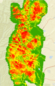
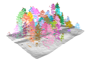
10 Game-Changing Analytics for Modern Forestry and Land Stewardship
In the ever-evolving field of land and forestry management, the ability to analyze and interpret [...]
08
Oct
Oct
From Polar Bears to Landslides: A Geomorphologist’s Quest to Solve Nature’s Greatest Mysteries Through Soil
In his 25+ years as a geomorphologist, soil scientist and quantitative spatial ecologist, John Norman [...]
02
Oct
Oct
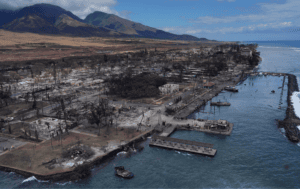
6 Key Analytics for Insuring Properties in Hazard-Prone Markets
Insuring properties in hazard-prone markets, such as homes located near wildfire risk areas, requires a [...]
20
Sep
Sep
Fundamentals of Geospatial Data Science (for the Non-scientist)
The article lays out the basics of geospatial data for the non-scientist.
29
Jul
Jul

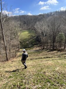
From Reactive to Proactive Pipeline Integrity Management: A Transformation in Appalachia
The Problem: A Hidden Threat to Critical Infrastructure Eight years ago, Bryan Crowe, a Pipeline [...]
01
Sep
Sep