Introduction to API Recommended Practices
Landslides are complex geological phenomena that can have devastating effects on pipeline infrastructure and pose a significant threat to pipelines crossing complex terrain. They can be caused by both natural events and human activities and represent a constant risk to operations, especially in pipelines traversing mountainous or unstable areas.
API RP 1187, issued in 2024 by the American Petroleum Institute (API), focuses on establishing a risk management framework to identify, monitor, and mitigate the threats posed by these landslides, ensuring pipeline integrity and reducing the possibility of catastrophic failures.
Proactive landslide management, supported by a structured plan and advanced pipeline monitoring technologies, is essential to minimize risks and avoid disruptions to operations. In this context, API RP 1187 provides specific guidelines that enable operators to implement a comprehensive safety approach.

API RP 1187 regulatory framework
The API RP 1187 provides guidelines for effectively managing landslide risks on overland transmission pipelines that carry natural gas, hazardous liquids, and carbon dioxide. Although primarily designed for welded steel pipelines, its concepts can be adapted to other infrastructure systems as well.
As summarized in a recent Pipeliners Podcast, “Fundamentally, 1187 is set up to follow the plan-do-check-act cycle that most companies follow in some way. It starts out with identifying landslide threats, the data, the management systems that you would need in order to understand that, then how to assess a landslide. What do you need to do there? What measures might you take in order to address those threats?”
The 1187 standard was developed in response to the need for a standardized framework for addressing landslides threats when planning or operating pipelines. Developed with inputs from over 100 subject matter experts on the API task group, the standard aims to provide recommendations for geotechnical risk mitigation based on operator experience and engineering practices.
Three levels of assessment
The standard introduces a three-tiered assessment methodology that allows companies to progressively investigate and mitigate potential landslide threats.
Level 1 Assessment: Initial High-Level Screening
Level 1 serves as an initial screening process. Here, operators conduct a high-level review of their pipeline routes, identifying potential landslide-prone areas with minimal complexity. This preliminary step helps organizations efficiently allocate resources by quickly determining which sections might require deeper investigation.
Level 2 Assessment: Comprehensive Evaluation
When the Level 1 Assessment reveals areas of potential concern, operators can advance to a Level 2 Assessment. This more comprehensive evaluation leverages advanced tools like inline inspection or LiDAR to gather detailed data about the pipe and its environmental context. Operators can now conduct a more nuanced analysis, understanding the material risk of potential landslide threats and developing a more targeted approach to risk management.
Level 3 Assessment: Geotechnical Evaluation
For the most critical locations identified through previous assessments, a Level 3 Assessment provides an in-depth, comprehensive geotechnical evaluation. This final stage allows operators to develop specific mitigation strategies, implementing precise risk reduction measures tailored to unique geological conditions.
Mark Piazza, Senior Policy Advisor at API, emphasized the flexibility of the RP, “Every condition, particularly on a lot of the landslide issues, they’re all a little bit different. You want to provide the tools, give the guidance. Then…operating companies take that and build a program that they think is effective for their operations. Generally, all of API recommended practices are structured in that manner.”
API RP 1187 on the Integration of Real-time Weather Data
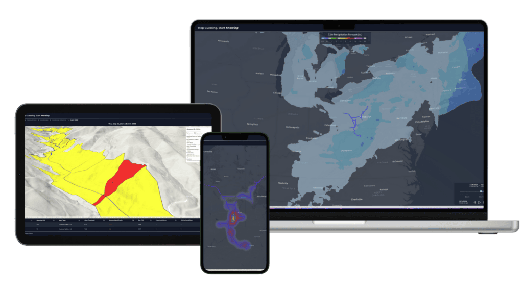
API RP 1187 provides specific guidance on the integration of real-time weather data into geohazard management systems, focusing on its role in proactive monitoring and risk mitigation. The key points include:
Weather Data Integration into Risk Models:
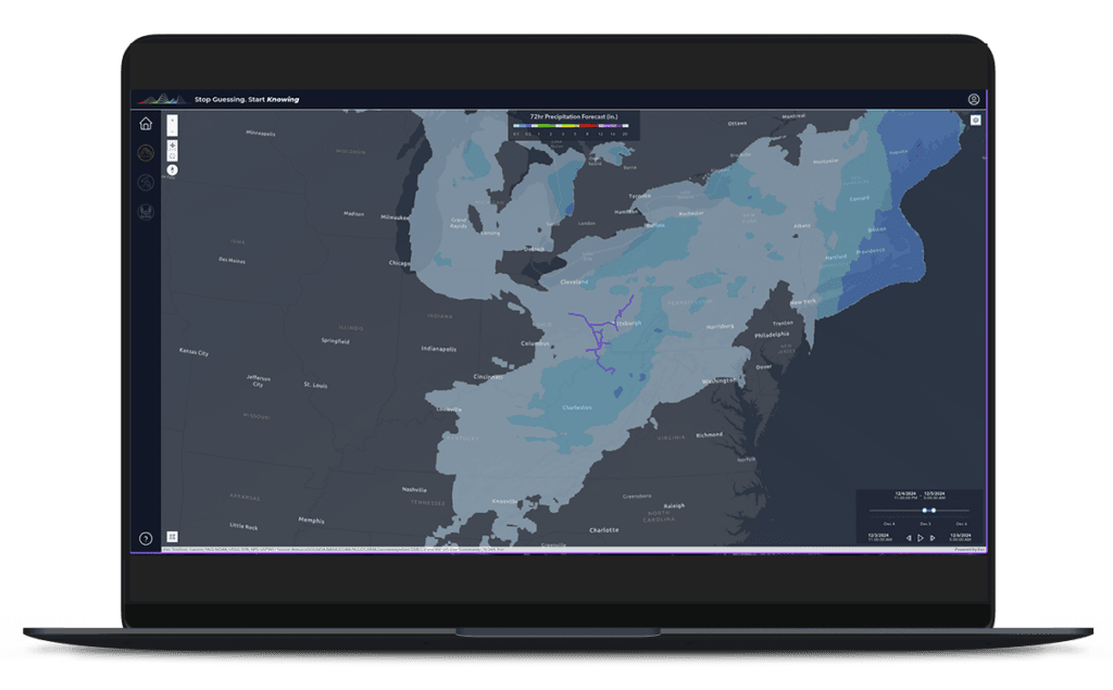
Real-time weather data, such as precipitation levels, temperature changes, and wind speeds, should be integrated into geohazard risk models to dynamically assess potential threats to pipeline integrity.
Event-Based Triggers:
Operators are encouraged to use weather monitoring systems to identify triggers for inspections or emergency actions, such as heavy rainfall that might lead to landslides or flooding, or temperature fluctuations that could impact soil stability.
Automated Alerts:
The use and integration of real-time weather data enables automated alert systems to notify operators of developing conditions that may elevate geohazard risks, allowing for timely inspections and mitigative measures.

Predictive Analytics:
Weather data should be paired with predictive analytics to anticipate how specific weather events, such as prolonged droughts or rapid snowmelt, could influence geohazard behavior and pipeline exposure.
Operational Decision-Making:
Real-time weather insights are critical for informing operational decisions, such as adjusting pipeline pressure, scheduling preventative inspections, or deploying response teams in advance of forecasted adverse conditions.
Monitoring Tools and Platforms:
It’s recommended that operators leverage integrated systems that combine weather feeds with other monitoring data (e.g., satellite imagery, LiDAR) to provide a comprehensive view of environmental risks affecting pipeline infrastructure.
How to Implement API RP 1187
In an environment where increasing extreme weather events and human activity can exacerbate geotechnical risks, implementing a robust landslide management program is vital to safeguarding the energy infrastructure of the future.
We have the steps, but what about the means? Here are the implementation solutions we’re seeing across the industry.
In-House
Many pipeline operators initially try to create a monitoring solution in house. While this low-upfront cost option is tempting, it comes with obstacles, such as limited access to a) the expertise needed to develop predictive algorithms and b) the extensive data library necessary to train these models. The exercise often ends up consuming more time and resources than initially estimated.
3rd Party Data Feeds
Some operators try integrating third party data feeds, like Tomorrow.io or Baron Weather, into their reporting. While these data feeds can tell you precisely where weather will occur, they do not provide predictive analysis of impacts to your pipeline infrastructure.
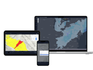
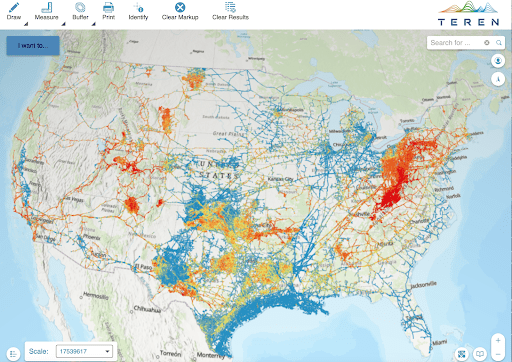
Terevue
Using AI, machine learning and weather, soil, and earth movement modeling, Terevue is a cloud-based software that leverages industry-wide data to train models that provide predictive threat alerting specific to pipeline infrastructure.
Learn more about Terevue here.
Learn about other pipeline safety regulations here, and subscribe to our newsletter for the latest updates on regulations.
How can Teren help you?
We'd love to hear from you.
- Ready to dive deeper? -
Knowledge Hub
White Papers
Webinars