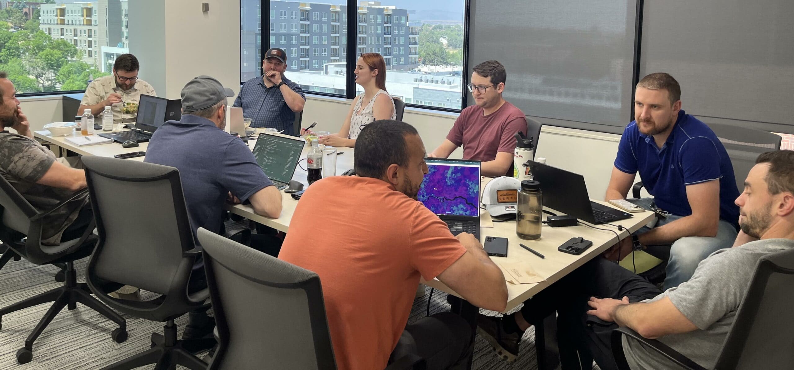
We’re Team Teren

Our Mission

We transform data into solutions that create a safer and more sustainable planet.

+96

Customers served

+90

Years remote sensing experience

+100

years earth science/GIS experience

+50

Years HPC/Machine learning experience

Geohazards Geospatial Analytics Knowledge Hub Right of Way

Pipeline Integrity Management: Protecting Critical Infrastructure from Natural Force Threats 

Introduction Pipeline infrastructure serves as the backbone of global energy networks, delivering the resources that [...]

Change Detection Debris Flow Geohazards Geospatial Analytics Knowledge Hub Pipeline Remote Sensing Soil Surface Hydrology Terrain Weather

Debris Flows: Understanding Nature’s Destructive Geological Phenomenon

Introduction Nature has few forces as swift and destructive as debris flows. These geological phenomena [...]

Artificial Intelligence Asset Resilience Environmental Twin Geospatial Analytics Knowledge Hub

8 Ways Geospatial Data Transformed Business Applications in 2024

Geospatial data has transformed the way humans and businesses interact and engage. By leveraging the [...]

Asset Resilience Climate Change Debris Flow Environmental Twin Geohazards Geospatial Analytics Knowledge Hub Soil Surface Hydrology Terrain Transportation Weather

Predicting Landslides: Teren’s Hydrology Modeling Validated by Hurricane Helene

In the wake of Hurricane Helene, Teren worked with USGS data to validate its innovative [...]

Asset Resilience Big Data Geohazards Geospatial Analytics Terrain Uncategorized Vegetation Management Weather

Building Transportation Resilience: 5 Key Analytics to Manage Increasing Environmental Threats

In today’s rapidly changing climate, transportation infrastructure faces growing challenges from environmental and climate-related hazards. [...]

Geospatial Analytics Teren News

Spooky Sightings from Above: Our Favorite Haunted Data Sets

Mappy Halloween from Teren! This October, we’re celebrating the spooky side of geospatial data. From [...]