Geospatial data has transformed the way humans and businesses interact and engage. By leveraging the power of location, we can extract insights, identify patterns, and solve critical problems. To appreciate the power of location, here are eight ways geospatial data is being leveraged in business today.
1. Spatial Analysis and Modeling for Business Optimization
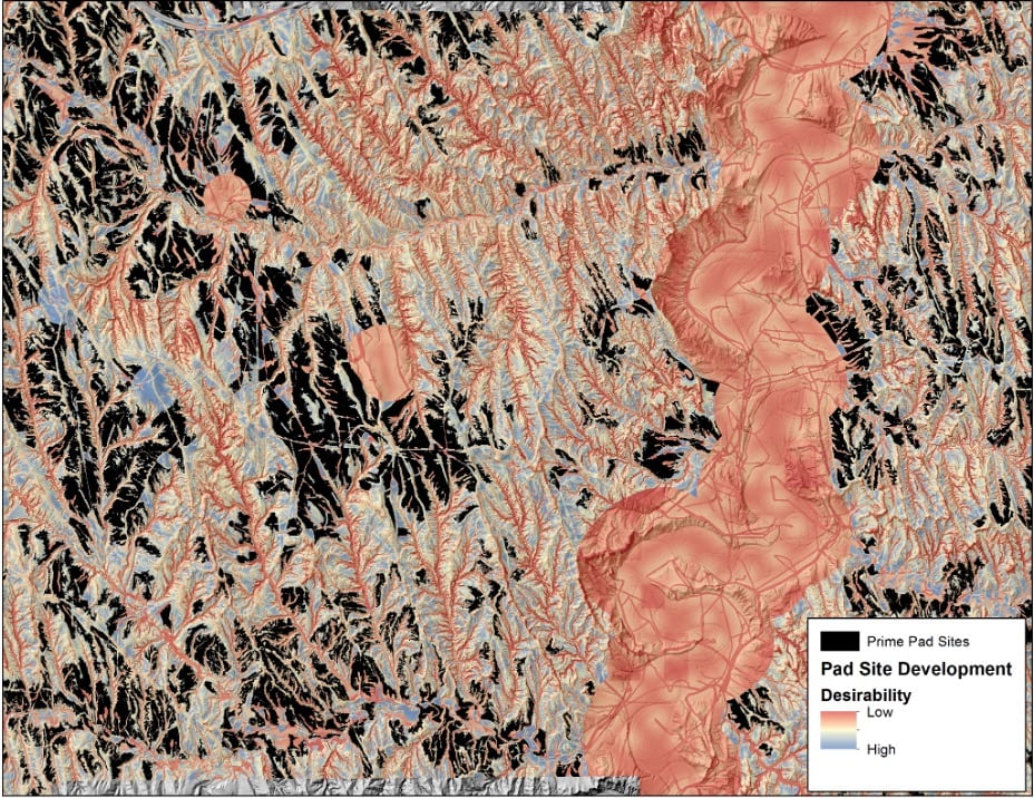
- Location Analysis: Whether it’s finding sites for operations or counting cows, the value of analyzing a plethora of criteria assists in streamlining and optimizing the site selection. Modeling can take into account factors like population density, vegetation, propensity for natural disasters, proximity to competitors/supporting services, climate and weather factors, and site accessibility.
- Hotspot Detection: Businesses can use geospatial data to find areas with high concentrations of specific activities or events, such as consumer behavior, crime rates, or natural disasters. This enables organizations to allocate resources efficiently and plan targeted interventions.
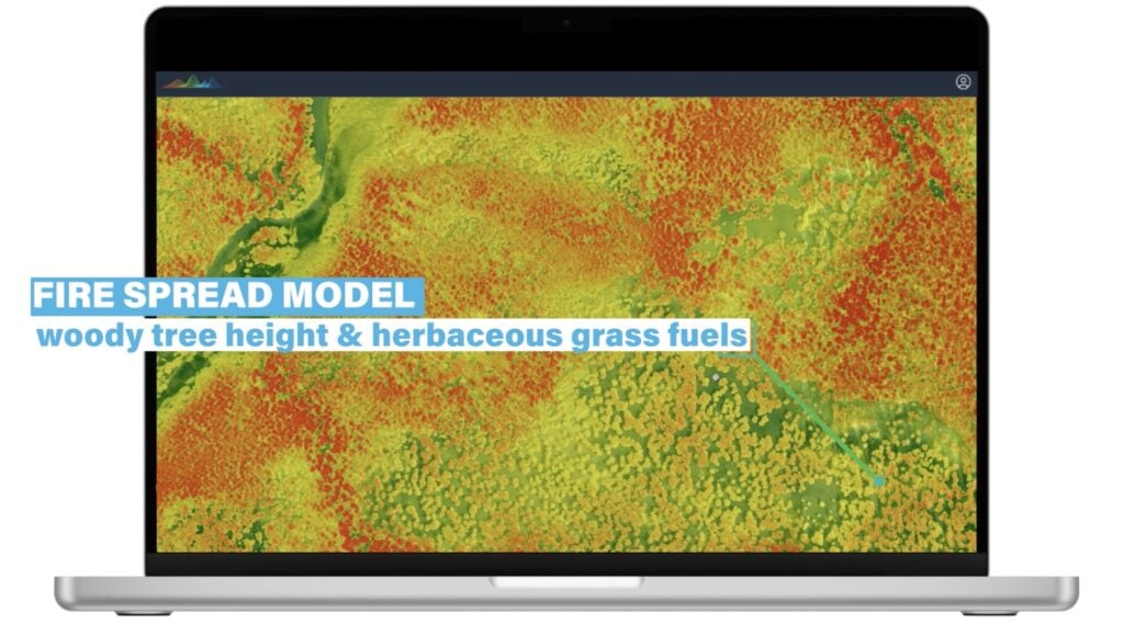
- Spatial Interpolation: Spatial interpolation estimates values at locations where direct measurements aren’t available by using data from known locations. This technique can be used for a variety of applications like to monitor pollution levels, temperature variations, predict wildfire spread, assess hazard risks, and much more.
2. Predictive Analytics for Strategic Planning
- Spatial Predictive Modeling: Predictive analytics is a game-changer for businesses. By using historical geospatial data, companies can forecast future events or trends, such as predicting flood zones, urban growth, or the spread of diseases. This helps organizations in risk management and strategic planning.
- Machine Learning: Remote sensing data sources like satellite imagery and LiDAR point clouds possess invaluable insights for those that can effectively extract patterns at speed and scale. Machine learning technologies have emerged as a key component to automate the analysis of vast datasets quickly, efficiently, and repeatably. These insights allow companies to stay ahead of trends and optimize strategies in near real-time.

3. Visualization and Mapping to Enhance Decision-Making
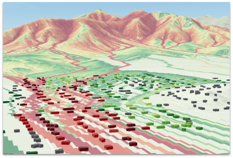
- Thematic Mapping: Geospatial data is key to creating thematic maps that visualize specific variables like population density, vegetation cover, or economic activity. These maps help businesses understand complex information at a glance, aiding in decision-making processes.
- 3D Visualization: Using 3D models to represent terrain, urban landscapes, or underground structures is invaluable in climate risk management, urban planning, architecture, and engineering. These visualizations help stakeholders to better understand spatial relationships and plan projects more effectively.
- Interactive Maps: Web-based interactive maps allow users to explore and analyze spatial data dynamically. Businesses can use these maps to provide customers or stakeholders with valuable insights, improving engagement and decision-making.
4. Geospatial Data Integration for Holistic Insights

- Combining Datasets: Integrating various geospatial datasets—like satellite imagery, sensor data, and demographic information—provides businesses with a comprehensive view of their area of interest. This is especially useful in disaster response and environmental risk planning.
- Geospatial Data Fusion: By merging data from different sources and formats, geospatial data fusion improves the accuracy and completeness of information.
5. Remote Sensing and Image Analysis
- Satellite and Aerial Imagery Analysis: Earth observation remote sensing data is a powerful tool for monitoring land use changes, tracking environmental changes, and assessing damage after natural disasters. Businesses can leverage this data to inform strategic decisions and manage risks effectively.
- Object Detection and Classification: By applying image processing techniques and machine learning, businesses can detect and classify objects in satellite images, such as buildings, vehicles, or vegetation types. This capability is essential for industries like agriculture, urban planning, and environmental conservation.
6. Geostatistics for Advanced Spatial Analysis
- Spatial Statistics: Analyzing spatial data using statistical methods allows businesses to identify patterns, correlations, and anomalies in geographic space. This can be crucial for industries like retail, where understanding customer behavior patterns is key to success.
- Kriging and Variography: Advanced geostatistical techniques like kriging and variography are used for spatial interpolation and modeling spatial relationships. These methods are commonly employed in environmental science and mining, where accurate spatial predictions are vital.
7. Optimizing Logistics Through Network Analysis
- Routing and Logistics: Geospatial data is essential for optimizing routes for transportation and delivery services. By considering factors like traffic conditions, road networks, and geographic barriers, businesses can improve efficiency and reduce costs.
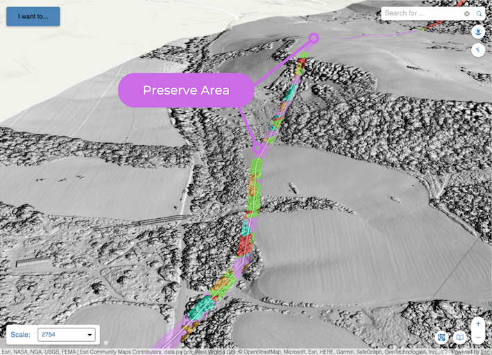
- Infrastructure Planning: Analyzing the spatial distribution of infrastructure—such as pipelines, roads, and utilities—helps businesses improve connectivity and accessibility. This analysis is crucial for long-term planning and development.
8. Environmental and Climate Studies
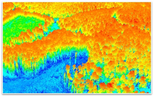
- Habitat and Biodiversity Mapping: Geospatial data plays a key role in mapping habitats, tracking wildlife movements, and assessing biodiversity. These insights are vital for businesses involved in environmental conservation and sustainable development.
- Climate Change Analysis: By analyzing spatial data, businesses can study the impacts of climate change on different regions, such as sea-level rise, temperature shifts, and changes in precipitation patterns. This information is critical for companies looking to mitigate climate-related risks.
Conclusion: Partnering for Geospatial Success
Geospatial data is unlocking new opportunities for businesses across various sectors. While this data is great, the data itself comes with it’s own challenges.
So partnering with the right technology and set of professionals that understand how to extract the most value from every pixel is the key to unlocking the power of location.

How can Teren help you?
We'd love to hear from you.
- Ready to dive deeper? -
Knowledge Hub
White Papers
Webinars