TEREVUE

Hazard approaching.
With natural disasters increasing in size, frequency and cost, there isn’t enough time in the day to collect data about, identify, prioritize, and manage the ever-growing and evolving threats to ensure infrastructure safety.
With so much at stake — degrading assets, new regulations, and public scrutiny — the status quo to manage transportation infrastructure is no longer sufficient.
Stop guessing and start knowing.
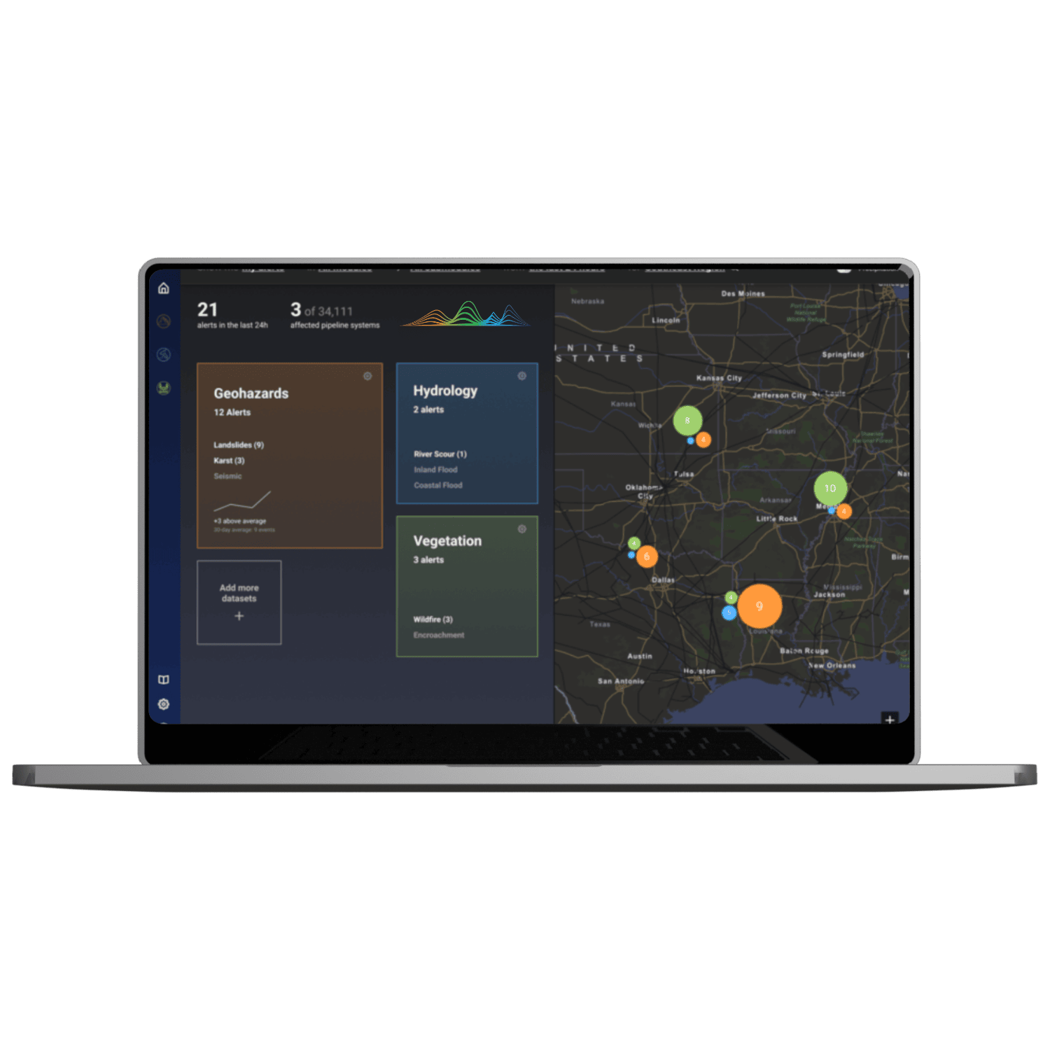
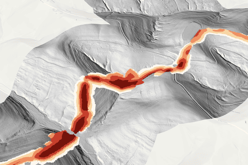
Teren’s suite of actionable wildfire, landslide, flood and weather data products help identify, prioritize and monitor environmental risks on roads and highways before they become catastrophic.
– DATA PRODUCT SUITE –
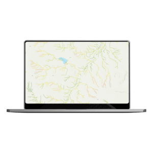
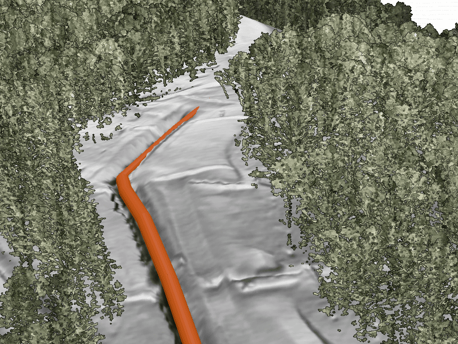
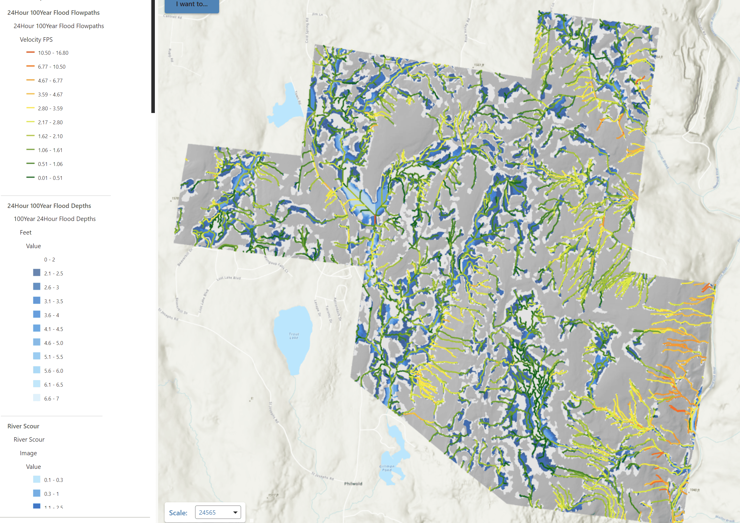
Flooding flowpaths
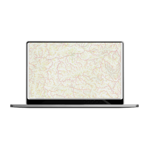
Scour depth
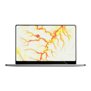
Flood inundation zones
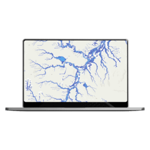
Flooding depth
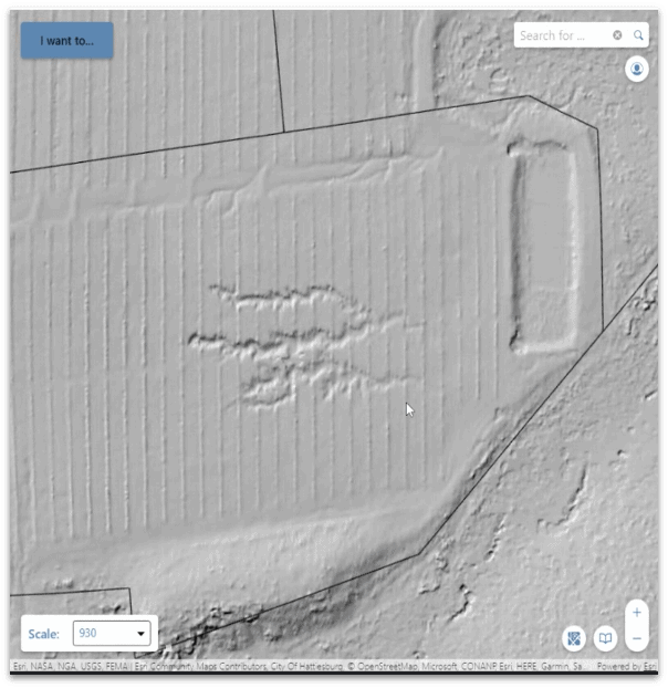
BIG DATA. BIG RESULTS.
2000000
acres mapped for renewable projects and counting
15
hours to map 5000 acres on a site
TRUSTED BY
Want to see Teren’s data product suite in action? Read these stories.
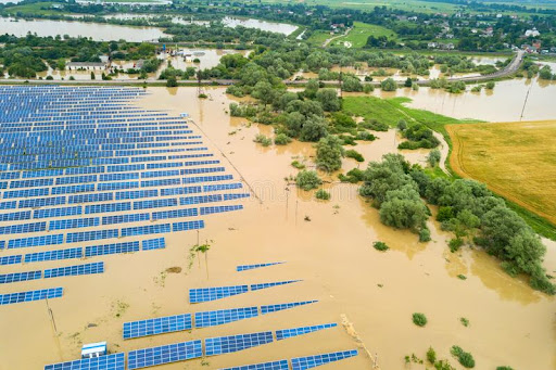
A solar farm was flooding regularly.
Teren analytics saw the solar site in new perspective, uncovering the source of the problem and identifying a long-term solution.
Read More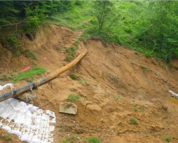
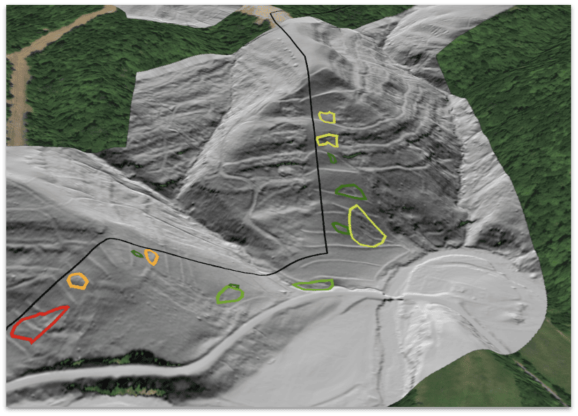
It’s always hard to tell a client “we told you so”.
But when Teren’s data predictions proved spot-on for a landslide resulting in $1.2 billion asset loss, it was time doing things differently.
Read More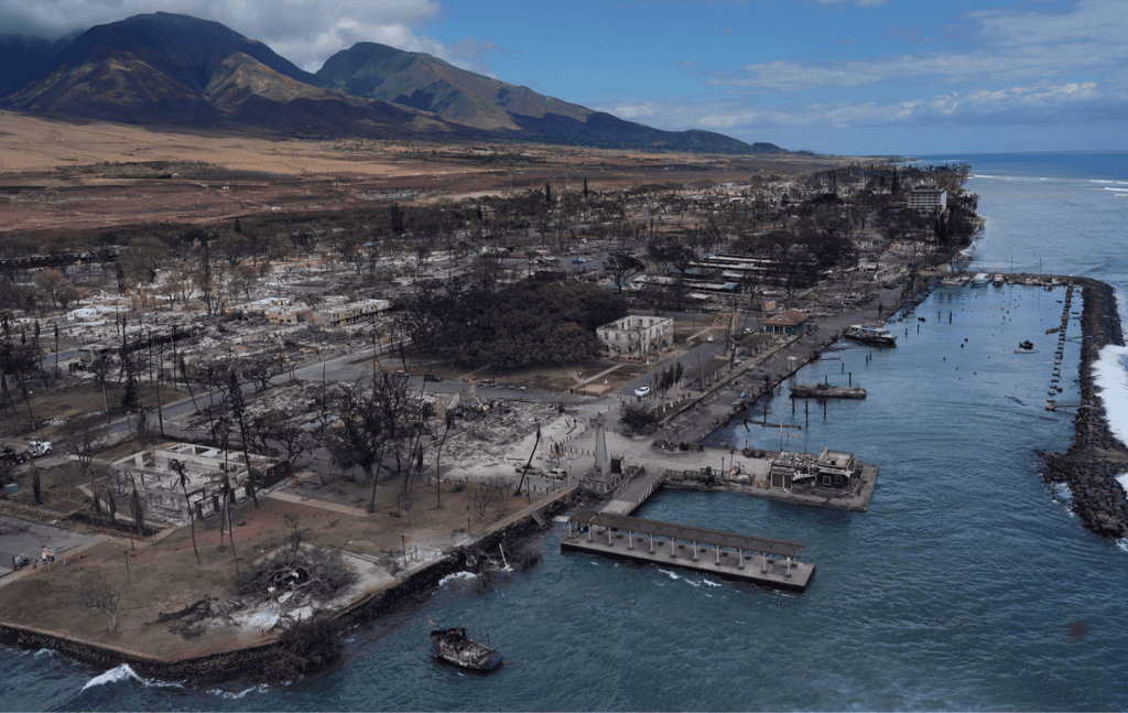
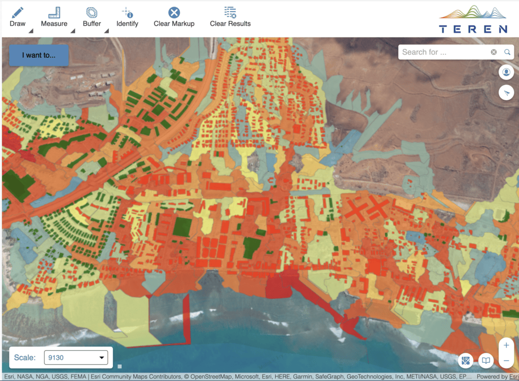
Lahaina was looking to rebuild and protect its coral reef post-wildfire.
Teren’s integrated approach harnessing photogrammetry data, spatial analysis, and ecosystem science equiped Maui County with the data to do just that.
Read More