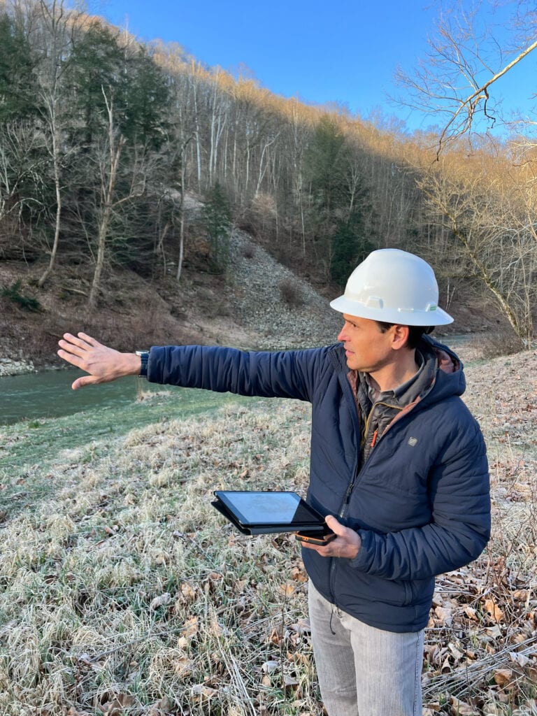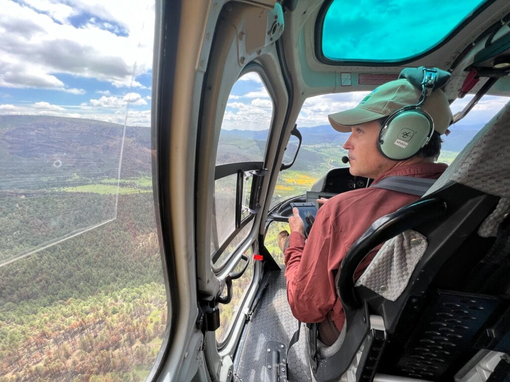
In his 25+ years as a geomorphologist, soil scientist and quantitative spatial ecologist, John Norman has navigated the realms of the impossible more than once. From predicting landslide risks to studying soil moisture, his journey has been one of transforming once “impossible” tasks into actionable science. But one project stands out: the time he was asked to locate polar bear dens using remote sensing.
“It was actually impossible,” Norman chuckles as he reflects on the project. “It involved a very large geography and not much data, with no way of determining the signatures of what a polar bear den was.”
While the polar bear den puzzle didn’t pan out, Norman always keeps an open mind when ‘impossible’ tasks are thrown his way; as many do in fact have viable solutions. Take for example, predicting landslide risks.
Predicting the Unpredictable
At first, the prospect of developing a highly accurate landslide risk potential model also seemed impossible. But, by using a combination of remote sensing data and data intelligence, his team achieved what had once been deemed unattainable: they created a highly accurate model that predicts where landslides are most likely to occur with a 80% accuracy rate. And they did this in one month.
“It was fun to take the science and apply it to a concrete problem,” he explains. After years in academia, where the impact of research often lags for decades, Norman embraced the fast-paced, results-driven environment for which tech startups like Teren are known.
It’s that tenacity and the ability to defy the odds that earned Norman the nickname “The Magic Man” from the landslide-risk-seeking customer’s CEO, Brent Huwa. After all, magic is what it feels like when science tackles the impossible.
The Blind Side of Soil Science
“The most exciting development in geomorphology is the shift from static, outdated soil data to dynamic, real-time data sets. In a world where the climate is increasingly volatile, these soil science innovations provide a more accurate understanding of ecosystem conditions.”
John Norman
While polar bear dens may remain elusive, the world of soil science is undergoing rapid transformation, thanks to other innovations Norman and his team worked on, like the Climate-enhanced Topographic Wetness Index (CETWI). This tool integrates multiple variables, including terrain, hydrology, and real-time climatic conditions, to create a dynamic picture of soil moisture across landscapes.
CETWI offers insights into how moisture interacts with landscapes, offering predictions crucial for wildfire management, drought planning, and conservation efforts. But Norman sees its most promising application in agriculture.
“Soil monitoring in agriculture is still lacking,” Norman states. Agriculture is the backbone of human survival, yet the depletion of soil due to modern farming practices remains an alarming, unaddressed issue. While the U.S. has been fortunate to recover from past disasters like the Dust Bowl, soil is finite. As agricultural practices continue, the need for real-time soil monitoring has never been more critical.
Wildfire Ready: A Digital Twin in Action

One project where CETWI is making a tangible difference is “Wildfire Ready,” a project with support from the NRCS Conservation Effects Assessment Project (CEAP) on Grazing Lands that applies cutting-edge technology to create digital twins of forests in California, Colorado, and New Mexico. These digital twins integrate terrain, forest, fuel, vegetation, hydrology, and infrastructure data to predict and mitigate wildfire risk.
“The project is a testament to how real-time data can empower local governments to protect their communities proactively,” Norman explains.
Looking Forward
For Norman, “the most exciting development in geomorphology is the shift from static, outdated soil data to dynamic, real-time data sets. In a world where the climate is increasingly volatile, these soil science innovations provide a more accurate understanding of ecosystem conditions.”
However, this shift comes with challenges. One of the biggest obstacles facing the field is the need for better remote sensing devices. While the technology has advanced, Norman believes there is still room for improvement to enhance the accuracy and timeliness of data collection.
John Norman’s career is a testament to the power of science in defying the impossible. His work exemplifies the importance of perseverance and innovation. Soil, after all, may seem static, but it holds the keys to understanding not only our past but our future.


How can Teren help you?
We'd love to hear from you.
- Ready to dive deeper? -
Knowledge Hub
White Papers
Webinars