TEREVUE
Our Mission
We transform data into solutions that create a safer and more sustainable planet.
We challenge the status quo through innovation.
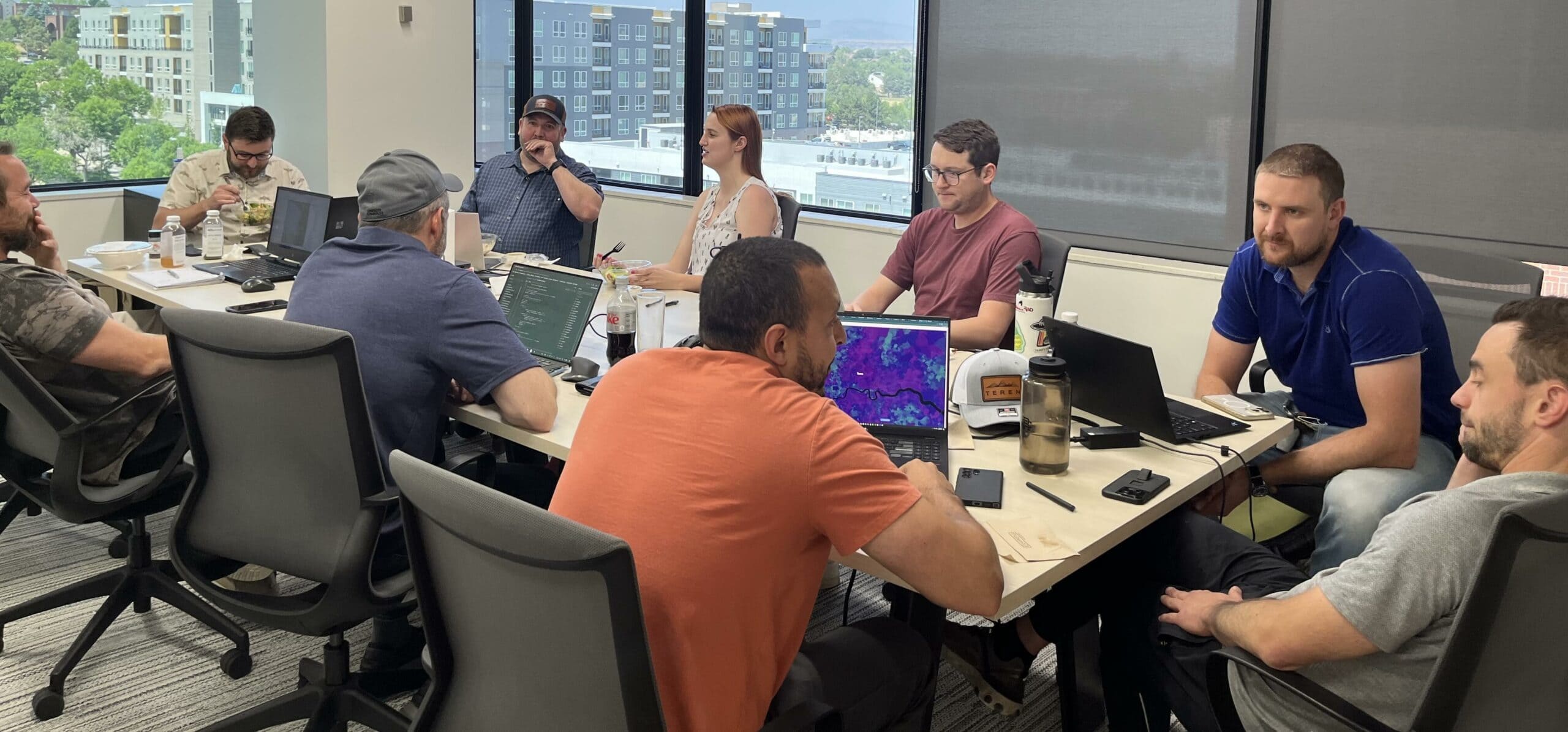
We’re a team of data, geospatial and computer scientists who like to play in the dirt. We love to solve the most complex geospatial puzzles so you can focus on the end line.
We are translators.
We are dedicated to not only making the difficult look easy, but actually be easier for our customers by translating complex science into actionable solutions.
We are genuine and care about our customers.
Our customers’ challenges are our challenges.
+96
Customers served
+90
Years remote sensing experience
+100
years earth science/GIS experience
+50
Years HPC/Machine learning experience
Artificial Intelligence Asset Resilience Big Data Environmental Twin Geospatial Analytics Press Release Teren News
Teren Joins the Colorado-Wyoming Climate Resilience Engine Digital Twin Accelerator
Teren has been selected to participate in the inaugural Colorado-Wyoming Climate Resilience Engine Digital Twin [...]
Customer Story Remote Sensing Renewables Vegetation Management
From Backlog to Back-on-Track: Automating Solar Site Pre-Screening & Processing with Teren’s Hydrology/Veg Intelligence (Customer Story)
The Problem Renewable energy suppliers are in a race to efficiently and accurately identify viable [...]
Environmental Twin Geohazards Geospatial Analytics Knowledge Hub Pipeline Press Release Regulations Remote Sensing Right of Way Soil Teren News Teren Products
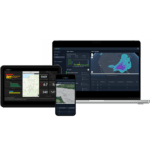
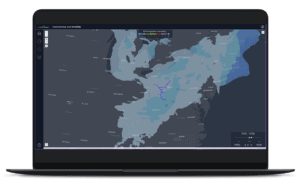
TEREN LAUNCHES TEREVUE TO REVOLUTIONIZE ENVIRONMENTAL RISK MANAGEMENT FOR INFRASTRUCTURE OPERATORS WITH REAL-TIME GEOSPATIAL INTELLIGENCE
New SaaS Product Is the First and Only Technology Offering System-wide Intelligent Alerting of Potential [...]
Asset Resilience Debris Flow Geohazards Knowledge Hub Pipeline Regulations Right of Way Soil Terrain Weather
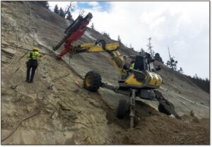
API RP 1187 Recommended Practice for Managing Landslide Hazards for Pipeline Integrity Explained, and How to Implement
Introduction to API Recommended Practices Landslides are complex geological phenomena that can have devastating effects [...]

Artificial Intelligence Asset Resilience Big Data Environmental Twin Geospatial Analytics Knowledge Hub Transportation Weather Webinar Wildfire
The Evolution and Applications of Environmental Twin Technology: Webinar Insights
This article follows up on insights shared during the Pennsylvania Geospatial Coordinating Board’s recent webinar [...]
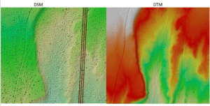
Case Study Customer Story Geospatial Analytics Knowledge Hub LiDAR Renewables Soil Terrain Vegetation Management
Strange Bumps in the DTM: How Teren’s LiDAR Analytics Helped A Renewable Energy Investor See the True Terrain
We think there are holes in the digital terrain model. That’s what an engineering firm [...]