TEREVUE
Stop Guessing, Start Knowing.
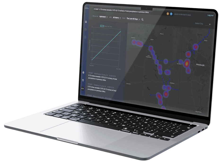
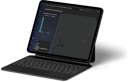
Accurately identify, prioritize and manage ever-growing and evolving threats to your resources, assets & infrastructure.
Our Data Suites
Land & Forestry, Elevated
Harness geospatial, earth and data science to see your resourcesinfrastructure with a new heightened perspective
Elevated.
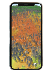
Harness geospatial, earth and data science to see your resources and infrastructure with new heightened insights
Industries We Serve
Earth Science
In Minutes, Not Months
While maintaining accuracy.
Risk Analysis,
Your Way
90+ customers are using Teren to build customized environmental intelligence at scale around the risk factors that matter most to their infrastructure & assets.
© 2024 Teren, Inc. All Rights Reserved.
How can Teren help you?
We'd love to hear from you.
- Ready to dive deeper? -
Knowledge Hub
Â
White Papers
Â
Webinars
Â